


Quick Facts:
- Topic: Little Giant Fire closure order reduced on the Okanogan-Wenatchee National Forest in Washington.
- Order: 06-17-07-2026-46, effective October 14 through October 31, 2026, unless rescinded sooner.
- Districts: Wenatchee River, Entiat and Chelan Ranger Districts, on national forest land only.
- Still closed: Entiat Chiwawa trail closures, including two OHV routes (1548 and 1524), plus listed roads and campgrounds.
- Penalty: up to $5,000 for an individual or $10,000 for a corporation, or jail of up to six months, or both a fine and jail.
- Source: Forest Service alert page, revised October 16, 2026.
- Best for: Washington 4×4 drivers, riders and overland trip planners.
6 min read
In This Article
Overview: Little Giant Fire Closure Shrinks
The Little Giant Fire closure on the Okanogan-Wenatchee National Forest shrank on October 14. However, much of the Chiwawa and Entiat valleys stays closed to rigs and riders. Although the Forest Service reduced the order, it still bars vehicles, riders and campers from many roads, trails and campgrounds through October 31.
Specifically, Order 06-17-07-2026-46 keeps two motorized routes shut: the Lower Chiwawa ORV trail (1548) and the Minnow Ridge ORV trail (1524). Both appeared in our fall closure roundup for the forest. Under the new text, both stay closed. Therefore, a rider who read the reduction as a reopening should check the list before loading a trailer.
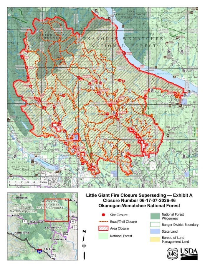
This follow-up covers what the order still closes and what the reduction means for rig owners. It also shows how to confirm your route before you drive. The Forest Service posted the order text and an Exhibit A map on its alert page.
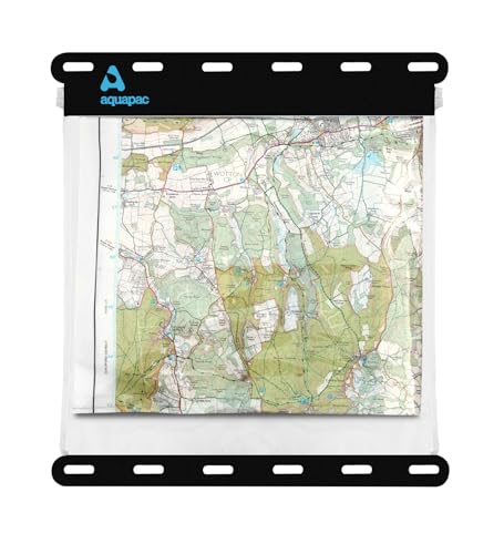
Confirm your route on the Forest Service map first, then carry a paper backup in the cab. Phone signal fades in remote country, and a printed map needs no battery. The Benchmark Washington Road & Recreation Atlas covers public lands and backroads across the state. For the Glacier Peak country, the National Geographic Trails Illustrated Glacier Peak Wilderness Map adds waterproof, tear-resistant detail. An Aquapac Waterproof Map Holder also keeps either map dry in a fall rain.
Paper navigation backup for forest roads

![Glacier Peak Wilderness Map [Mt. Baker-Snoqualmie and Okanogan-Wenatchee National Forests] (National Geographic Trails Illustrated Map, 827)](https://m.media-amazon.com/images/I/51vh8F-jp7L._SL500_.jpg)
Glacier Peak Wilderness Map [Mt. Baker-Snoqualmie and Okanogan-Wena…
Key Facts at a Glance
| Item | Details |
|---|---|
| Order number | 06-17-07-2026-46, signed in Wenatchee on October 14, 2026. |
| Earlier order | 06-17-07-2026-40, as listed in our September 14 roundup. |
| Closed trails | 58 listed, including two OHV routes. |
| Closed sites | 26 campgrounds, group sites and day-use areas. |
| Exempt | Officers, rescue and firefighting forces on duty, and holders of Permit FS-7700-48. |
| Forest contact | Okanogan-Wenatchee National Forest, 509-664-9200. |
What the Little Giant Fire Order Still Closes
Roads, Campgrounds and Trails
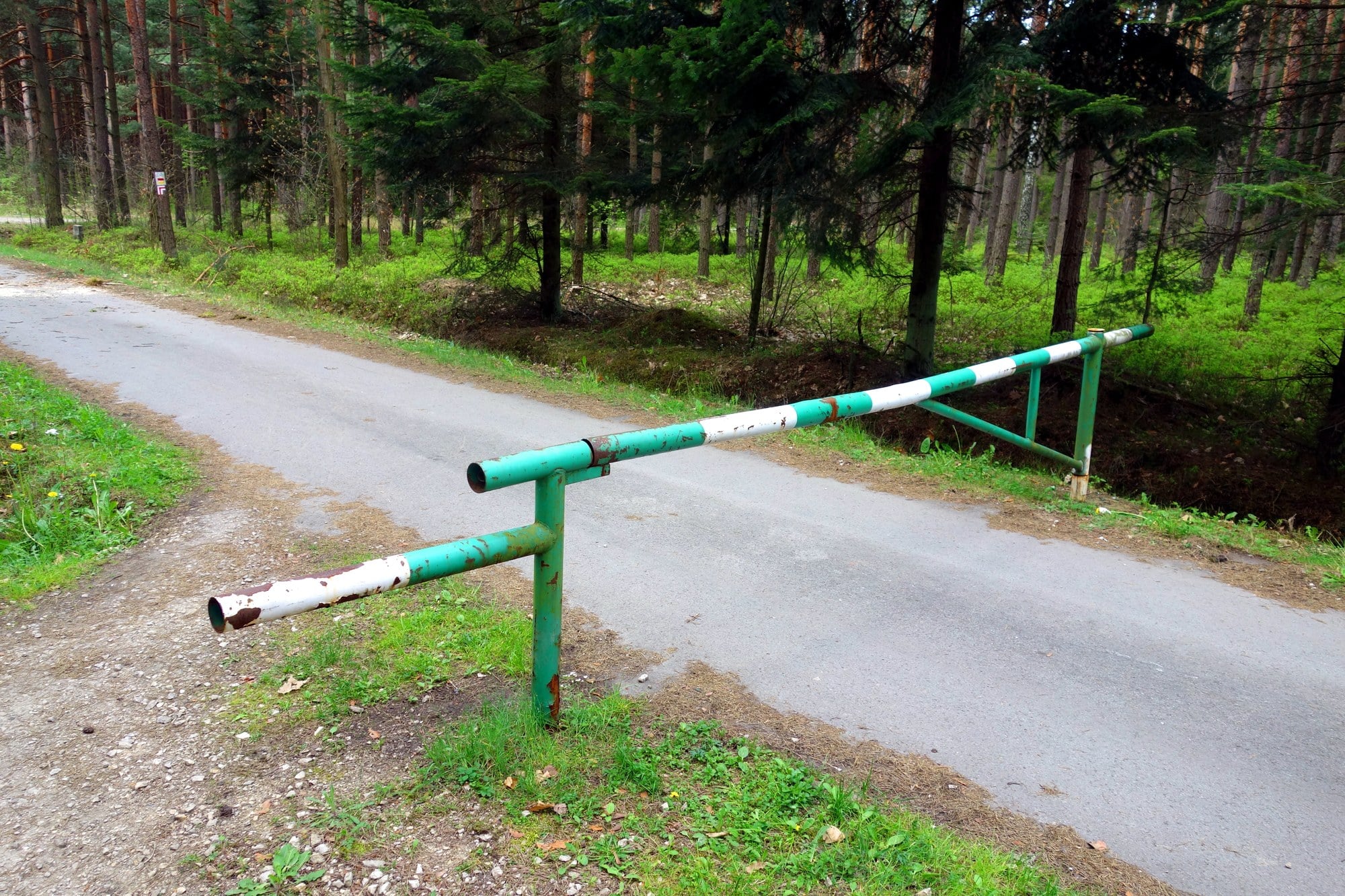
Entry onto the listed National Forest System lands is prohibited. The order also bars you from listed roads and trails, and from driving off a Forest Service road. In addition, the Forest Service lists 26 closed sites, including Atkinson Flat, Riverbend and Phelps Creek Horse Camp.
Closed roads include Chiwawa River Road 6200, Phelps Creek Road 6211 and Entiat River Road 5100. Forest Road 5900 also appears, although the written boundary leaves one stretch near Forest Road 8410 open. Because the boundary text is long and dense, the Exhibit A map matters more than any summary, including this one.
Entiat Chiwawa trail closures take the biggest share of the list. The Forest Service names 58 trails, such as Chiwawa River Trail 1550 and Entiat River Trail 1400. As a result, hikers and horse riders lose the same ground as OHV riders.
Two OHV Routes, Exemptions and Penalties
The order lists two OHV routes, Lower Chiwawa Trail 1548 and Minnow Ridge Trail 1524. For the whole order, the Lower Chiwawa ORV trail and the Minnow Ridge ORV trail both stay closed.
Notably, the order carries no exception for street-legal rigs or small groups. Instead, it names only on-duty officers, rescue and firefighting forces, and holders of Forest Service Permit FS-7700-48. Anyone else who enters faces a fine of up to $5,000. Corporations face up to $10,000, and the order allows up to six months in jail.
Burn Area Hazards Near the Closure
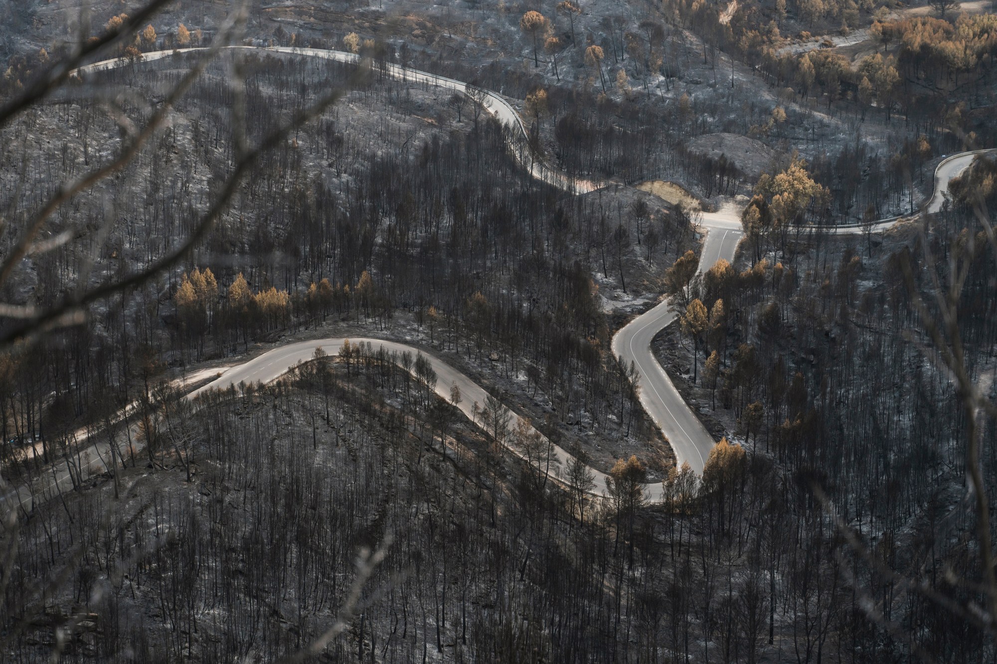
A smaller closure does not make the surrounding country safe. Lightning started the Little Giant Fire on July 15 in the Chiwawa River drainage, about 30 miles northwest of Leavenworth. The Leavenworth Echo reported it reached nearly 173,000 acres.
At an October 14 community meeting, forest staff described a higher risk of debris flows across the entire burn area, the Echo reported. Forest Service representative Victoria Wilkins named the Entiat River drainage, especially its southern portions, as an area of highest concern. She also named the Chiwawa River drainage near Rock Creek. Significant debris flows already happened in the Pope Creek area, she added.
Meanwhile, Nancy Calhoun of the Washington Geological Survey called the first several years, before vegetation returns, the period of most concern. The agencies listed hazard trees, flooding and debris flows among their concerns. My read for drivers: take extra care on any road near a burn scar.
What This Means for You
If your plan was a Chiwawa or Entiat valley run before October 31, rebuild it. The order bars you from the listed roads and trails, and the penalty is real.
Next, confirm your replacement route is open today. A road shown open on the motor vehicle use map is not open if a fire order covers it. Our guide to reading the motor vehicle use map explains the base layer. The Forest Service app for closure alerts adds current orders. Our guide on how to check fire restrictions covers the state lookup tools.
For a place to camp instead, see our picks for free dispersed camping in Washington. Meanwhile, the forest alert page lists other fire orders, such as the Three Queens and Ptarmigan closures. Check those before you settle on a backup route.
My advice: treat the Forest Service order and its Exhibit A map as the final word. A trail app, a forum post or an older roundup, including our September 14 post, is only as current as its last edit.
Finally, call the forest at 509-664-9200 before a trip near the boundary. The order runs through October 31 and does not say what follows. Therefore, recheck the alert page, revised October 16, before any trip after October 31, and save a copy of the Exhibit A map before you leave.
Gear for Open Roads Near the Little Giant Fire
Open roads near a burn area still carry risks, because help sits far away. A Kidde Auto 5 Fire Extinguisher for Cars and Trucks (M5G) rides in the cab and handles small engine and electrical fires. Rock and debris on gravel roads also cut tires, so the Rhino USA Compact Tire Plug Kit lets you fix a puncture trailside. Then a SOG Entrenching Tool folds small enough to dig out a stuck wheel or clear loose rock. Pack all three before you leave pavement.
Gear for driving open forest roads


Rhino USA Compact Tire Plug Kit (14-Piece) Tire Repair Kit
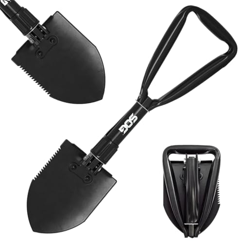
SOG Entrenching Tool- 18.25 Inch Folding Survival Shovel with Wood …
Final Thoughts
A reduced closure is good news for the communities near the burn, because the Forest Service cut the closed area. For riders and rig owners, however, the news is less welcome. Both OHV routes stay off limits through October 31.
For me, the lesson here is simple: a smaller closure is not a reopened valley. I would rather lose one fall weekend than risk a fine of up to $5,000 or park under hazard trees.
Our fall closure roundup for the forest covers the other orders still in effect. If you still want a Cascades trip this fall, pick a route far from the burn. Then confirm it against the Forest Service map, and carry a paper backup in the cab. Stay safe out there.
FAQ
When does the Little Giant Fire closure end?
Order 06-17-07-2026-46 runs from October 14 through October 31, 2026, unless the Forest Service rescinds it sooner. The order does not say what happens afterward.
Are the Lower Chiwawa and Minnow Ridge ORV trails open?
No. Lower Chiwawa Trail 1548 and Minnow Ridge Trail 1524 both sit on the closed trail list.
What is the penalty for entering the Little Giant Fire closure?
The fine is up to $5,000 for an individual or $10,000 for a corporation. Jail of up to six months is also allowed, alone or with the fine.
Where is the Little Giant Fire?
Lightning started the fire on July 15 in the Chiwawa River drainage, about 30 miles northwest of Leavenworth, Washington. It sits on the Wenatchee River Ranger District of the Okanogan-Wenatchee National Forest.
Does the closure cover private land?
No. The Forest Service states the order applies only to U.S. Forest Service lands.