



Quick Facts:
- App: National Forests and Grasslands (U.S. Forest Service)
- Cost: Free
- Platforms: iOS and Android
- Launched: June 1, 2026
- Coverage: 30,000+ recreation sites, 165,000 miles of trails
- Key features: Offline maps, safety alerts, closures, amenity filters
- Privacy: No personal data collected or shared
- Replaces: Nearly 30 older agency apps
- Best for: Campers and off-roaders planning national forest trips offline
5 min read
In This Article
Forest Service App Overview: A Free Trip-Planning Tool
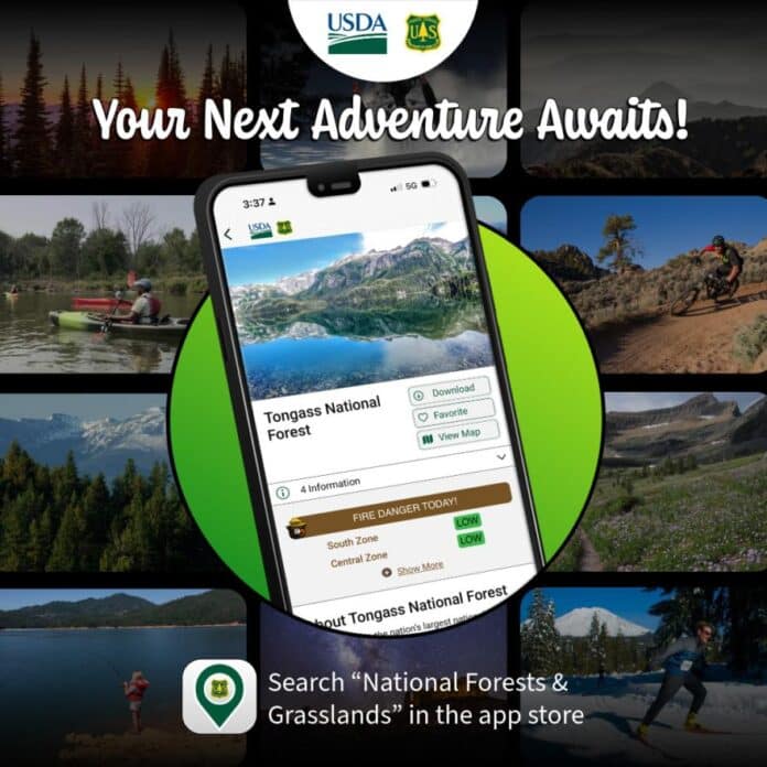
The U.S. Forest Service app is now live, and it puts thousands of national forest recreation sites in your pocket for free. The agency launched the National Forests and Grasslands app on June 1, 2026, to open Great Outdoors Month. For off-roaders and campers, the app promises offline access, closures, and campsite details in one place. This explainer covers what the app does, who it helps, and how it compares to onX and Gaia GPS.
According to the agency, the app offers the most complete and accurate collection of Forest Service recreation sites ever released to the public. Moreover, the data comes straight from the agency rather than a third party. For overlanders who plan around forest roads and remote sites, accurate first-party data matters.
One App Replaces Nearly Thirty
The launch consolidates a scattered system. Until now, many forests ran their own separate apps, and quality varied widely. The new app folds nearly 30 of them into one, which the agency says brings consistent information to about 164 million yearly visitors. Notably, the app arrived even as the Forest Service faced broader budget pressure.
“We encourage everyone to download the National Forests and Grasslands app, your own pocket-sized Forest Service guide, to check trail conditions, download offline maps, and view safety alerts before your trip,” said Forest Service Chief Tom Schultz. For the 4WD community, first-party trail and closure data is the real value.
Forest Service App: What It Covers
The table below shows where the app helps and where it stops. Use it to decide what you still need a paid app or a paper map for.
| Capability | In the app? |
|---|---|
| Recreation sites, campgrounds, trails | Yes |
| Offline map downloads | Yes |
| Fire and weather safety alerts | Yes (optional layers) |
| Amenity filters (RV hookups, restrooms, dog-friendly) | Yes |
| Closures and trail conditions | Yes |
| Motor Vehicle Use Maps (MVUM) | Not featured; verify separately |
| Deep route planning vs onX or Gaia | Limited at launch |
What the Forest Service App Does
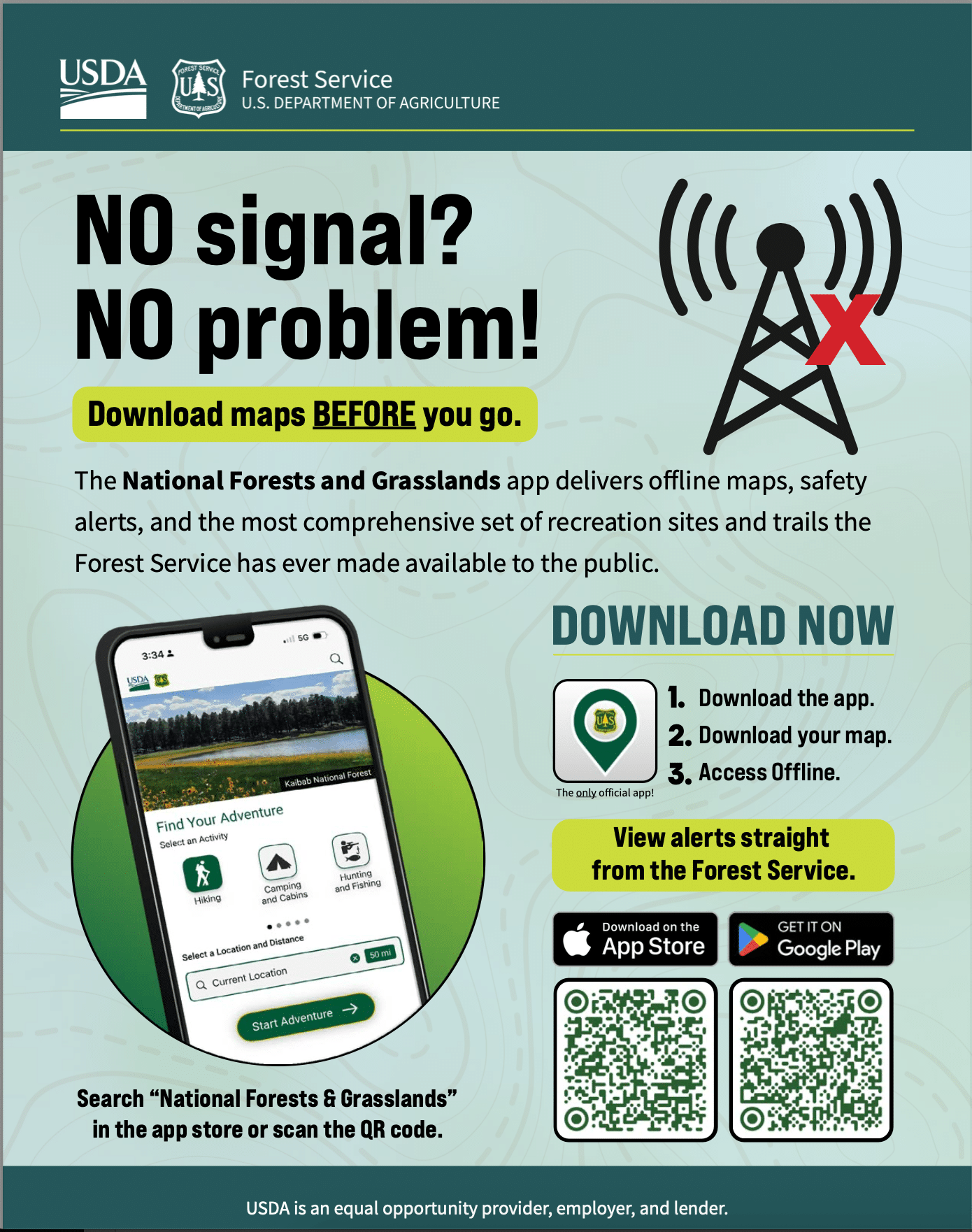
The app centers on four features. First, offline maps let you download an area ahead of time, so your GPS location works with no signal. Second, safety alerts add optional layers for fire information and National Weather Service warnings. Third, planning support lets you favorite activities within a set radius. Fourth, trail and site conditions show amenities like restrooms, RV hookups, and closures.
The planning tools cover a wide range of uses, from hunting and fishing to paddling, bike or equestrian trails, and campsites sorted by amenity. In addition, favoriting sites builds a custom trip list before you go. Because the maps work offline, the app helps most once you lose signal at the trailhead. As a result, downloading before you leave home is the key step.
Why It Matters for Off-Roaders and Campers
For the 4WD crowd, the biggest draw is finding recreation sites and reading closures before a trip. The app surfaces campgrounds, trails, and forest roads across the National Forest System. For dispersed camping specifically, it helps you spot nearby sites and confirm amenities. For example, a quick radius search returns nearby campgrounds filtered by the amenities you need. Our guide to find free camping on USFS land pairs well with the app’s site data.
Closures and conditions also carry weight off-road. Roads wash out, fire restrictions shift, and gates lock seasonally. Because the app pulls first-party alerts, it flags these changes faster than word of mouth. For the rules themselves, see our overview of dispersed camping rules and safety.
A simple workflow fits most trips. First, download your forest map at home over Wi-Fi. Next, favorite a few campsites and trailheads along your route. Then, check the alert layers for fire or weather the morning you leave. Because the data updates from the agency, a fresh check beats last year’s guidebook.
Forest Service App vs onX and Gaia GPS
The Forest Service app enters a field led by onX Offroad and Gaia GPS. Those paid apps built deep followings with trail data, topo layers, and route planning. In contrast, the new app is free and draws on official agency data. However, it launched with a narrower feature set than the veterans.
For a full breakdown of the paid options, see our roundup of the best off-road GPS apps. Many overlanders will run the new app alongside onX or Gaia rather than replace them. Still, the price of free is hard to argue with for casual trips and quick planning.
What the App Does Not Replace
The app has real limits for motorized users. Its official feature list highlights recreation sites, trails, maps, and alerts. However, it does not advertise Motor Vehicle Use Maps, or MVUMs, which define legal off-road routes. Therefore, off-roaders should still confirm motorized access with an MVUM before driving a forest road.
onX Offroad and Gaia GPS both overlay MVUM-based data for exactly this reason. To learn the process, read our guide on how to read MVUMs and find legal campsites. Treat the app as a planning layer, not the final word on legality.
How to Download the App
The National Forests and Grasslands app is free on iOS and Android. You will find it in the Apple App Store and on Google Play, or scan the code on the agency’s app page. Notably, the Forest Service says the app collects no personal information and shares no data with third parties. Moreover, the agency plans more features, so expect updates through the season. The rollout also lined up with National Trails Day on June 6, 2026.
Frequently Asked Questions
Is the Forest Service app free?
Yes. The National Forests and Grasslands app is free on iOS and Android. The Forest Service also states it collects no personal data.
Does the app work offline?
Yes. You download maps ahead of time, and the app then tracks your location with no signal. Offline maps are the app’s core feature for remote trips.
Does the app show dispersed camping and forest roads?
The app surfaces recreation sites, trails, and forest roads across the National Forest System. It helps you find dispersed camping areas and check amenities. For legal motorized routes, cross-check an MVUM.
Does it replace onX or Gaia GPS?
Not fully. onX Offroad and Gaia GPS offer deeper route planning and MVUM overlays. Many drivers run the free app alongside a paid option.
What did the app replace?
The single app retires nearly 30 older agency apps. The Forest Service built it to give consistent, first-party information to about 164 million yearly visitors.
When did the app launch?
The Forest Service launched it on June 1, 2026, to start Great Outdoors Month. National Trails Day followed on June 6, 2026.