



Quick Facts:
- Topic: Travel Management Rule revision for national forests (36 CFR part 212).
- Comments received: 134,377 at Regulations.gov, docket FS-2026-0100.
- Comment period: Closed September 23, 2026.
- Next step: Proposed rule and draft environmental impact statement, spring 2027.
- Final rule: Early calendar year 2028, subject to change.
- Today: Existing route designations and maps stay in force.
- Legal driver: Executive Order 14408, signed on 5/29/2026.
6 min read
In This Article
Where the Travel Management Rule Stands
The Travel Management Rule revision has drawn 134,377 comments at Regulations.gov, according to the Federal Register page for the notice. Comments closed on September 23, 2026, but the notice is not the proposed rule. It is a notice of intent to prepare an environmental impact statement, so no rule text exists yet. Every existing route designation stays in force, so the trail rules you follow today are unchanged.
USDA anticipates publishing the proposed rule and draft statement in spring 2027. A completed statement, record of decision and final rule would follow in early calendar year 2028.
The Forest Service announced the plan on August 21, 2026, and the notice appeared in the Federal Register on August 24. Its stated goal is a national policy favoring access. Deputy Secretary of Agriculture Stephen Vaden said in the agency release, “Public lands are for public use, yet for too long, Forest Service regulations have stood in the way of public recreation access.”
Whatever the final rule says, your route choices still rest on the map in force. A printed map shows which routes are open, but it does not place you on them. Cell coverage fades on many forest roads, so a handheld GPS or satellite messenger backs up the map. The Garmin GPSMAP 67 puts your position on a handheld map display. In addition, the Garmin inReach Mini 2 adds two-way messaging beyond cell service.
Navigation gear for forest roads


How the Current Rule Works and What Triggered the Revision
To see what is changing, start with the rule itself. It sits at 36 CFR part 212 and sets the framework for public motor vehicle use on national forests. Since 2005, forests have published a motor vehicle use map, or MVUM. These maps show which roads, trails and areas are open to motor vehicles. According to the notice, all but 6 of the 154 national forest units and 20 national grassland units have established them.
Designation decisions rely on criteria taken from Executive Orders 11644 and 11989, which date to 1972 and 1977. Those orders told agencies to minimize resource impacts and conflicts between users. Executive Order 14408 rescinded both orders on 5/29/2026. The order also told agencies to start rulemaking to rescind or revise the regulations built on them.
Interior is named in the order too. Our report on the travel management plan near Kanab covers the BLM side.
What the Travel Management Rule Revision Proposes
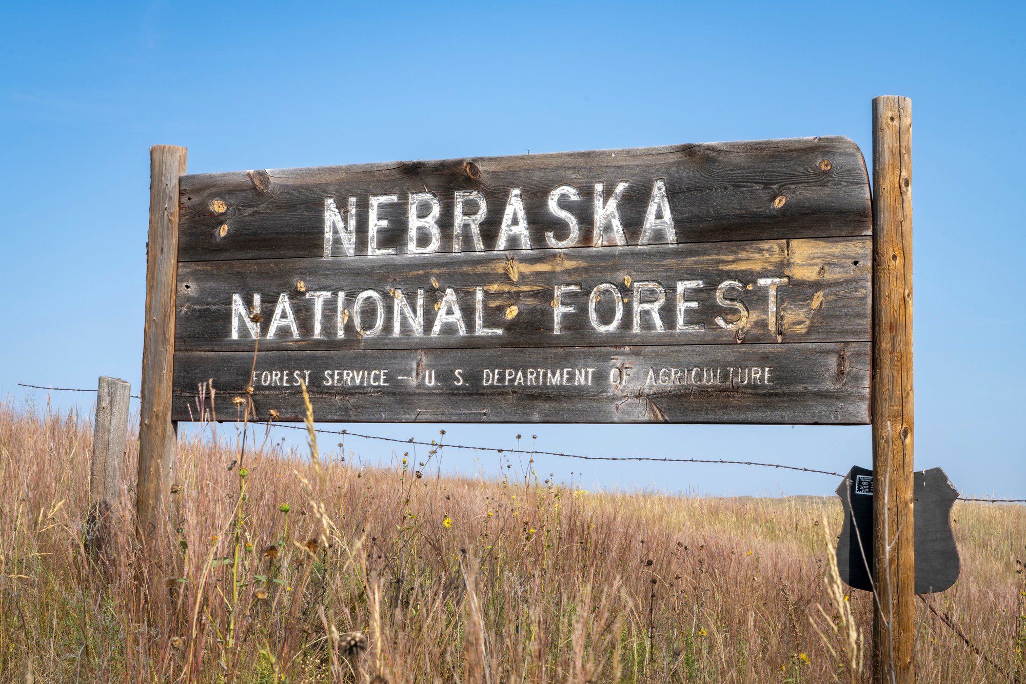
The notice describes a preliminary proposal, and details stay open to change before a rule appears. First, the policy would presume existing roads, trails, airfields and trailheads are open to appropriate public use. A closure would need a legal requirement, valid existing rights or specific, documented reasons based on resource conditions, public safety, conflicts among uses or maintenance and administrative capacity.
The presumption alone would not change any route’s legal status. Existing designations and maps, the notice says, remain in effect until revised under the amended regulations. Other pieces of the proposal include:
- Minimization criteria: removed from the designation rules for roads, trails and over-snow travel.
- Annual review: each unit would list closed or highly restricted routes, subject to appropriations.
- Off-route use: limited motor vehicle use for downed big-game retrieval, firewood collection and dispersed camping.
- Class 1 e-bikes: exempt from motor vehicle designations on trails where bicycles are allowed, subject to local orders.
- Maps: integrated digital maps as the authoritative public source for access rules.
Notably, aerial imagery might serve as evidence a route exists. It would not by itself show the route belongs to the forest transportation system or is open to use. For camping, see our guide to dispersed camping rules, because the proposal covers limited off-route use for campers.
Where BlueRibbon Coalition and Outdoor Alliance Stand
Two groups have published their positions on the revision. BlueRibbon Coalition backs it. According to its action alert, the minimization standard has functioned as a one-way ratchet toward closures. Current maps, the group adds, are frequently out of date and inconsistent between ranger districts.
Outdoor Alliance, a coalition of human-powered recreation groups, takes a different view. Its August post welcomes revising the rule rather than repealing it. However, the group objects to the presumption of openness. It argues the presumption risks opening nonmotorized trails to motor vehicles. Outdoor Alliance says it helped gather 21 congressional signatories for its letter.
The agency release gives the scale. Forest Service Chief Tom Schultz says the agency administers more than 380,000 miles of road and 165,000 miles of trails. Our report on Bears Ears motorized access covers a related debate on BLM land.
What Happens Next
Neither group is reacting to rule text, because none exists yet. USDA expects the spring 2027 proposed rule to include regulatory text. The notice refers to public comment opportunities for the proposed rule and draft statement. However, it does not say how long the window will run. Because the timeline is subject to change, watch the docket instead of a calendar date.
Two limits matter here. First, the notice plans no separate scoping meetings. Next, the action is not subject to the objection process in 36 CFR parts 218 or 219 subpart B. As a result, written comments were the only scheduled public input at this stage.
What This Means for You

Nothing changes on the ground today. The off-route and camping pieces remain proposals, so current rules still apply. Your forest’s map still decides where your rig is legal, and each designation stays in force until the forest revises it. I have owned five Jeeps over the years and drive a 2025 Chevy Colorado ZR2, so rigs like mine fall under this rule.
Until a forest publishes a new map, treat the current map as the law. Download the map for the forest you plan to visit, and learn to read an MVUM step by step. Then load it into a phone app so it stays in view. A solid mount helps on washboard roads, and the RAM X-Grip Large fits phones from 1.75 to 4.5 inches wide.

RAM Mounts X-Grip Large Phone Mount with Medium Arm Twist-Lock Suction Cup | Windshield and dash mount for large smartphones, B Size 1" ball with medium double socket arm
A dash or windshield mount keeps a downloaded map readable while you drive slowly on rough forest roads.
- Twist-lock suction cup base
- Holds large phones up to 4.5 inches wide
- Medium double socket arm adjusts the viewing angle
- Suction base needs a clean, flat windshield or dash spot
For the proposal itself, follow docket FS-2026-0100 on Regulations.gov and the Forest Service OHV program page, which the notice names for updates.
Final Thoughts
This revision matters because the map is the agreement between you and the forest. The two groups split on the presumption: BlueRibbon wants maps riders rely on, while Outdoor Alliance objects to a presumption of openness. For me, the part worth watching is the promise of one reliable digital map. I would rather know exactly where my rig is welcome than guess.
The trade-offs are real. A presumption of openness might speed reopenings. However, it might also shift closure fights to individual routes, and Outdoor Alliance warns of lost public input. How forests will apply it is unknown, because rule text does not exist yet.
So read the proposed rule when it arrives, and judge the details instead of the headlines. Until then, carry the current map, respect posted closures and check your forest’s website before each trip.
Frequently Asked Questions
What is the Travel Management Rule?
The Forest Service regulation at 36 CFR part 212 governs public motor vehicle use on national forests. Forests must publish maps showing which routes are open.
Does the Travel Management Rule revision open closed roads right away?
No. The notice says the presumption would guide future decisions and would not itself change any route’s legal status. Existing designations stay in effect until revised.
When is the next chance to comment on the Travel Management Rule?
The notice refers to comment opportunities on the proposed rule and draft statement, expected in spring 2027. It does not say how long the window will run.
What is Executive Order 14408?
Signed on 5/29/2026, the order rescinded Executive Orders 11644 and 11989. The order also told agencies to start rulemaking on the regulations built on them.
How do I know a route is legal today?
Open the current motor vehicle use map for the forest you plan to visit. Routes shown on it remain in force under the existing designations.