


Quick Facts:
- Utah flash flood threat: Flood Watches cover Canyonlands, the La Sals, the San Rafael Swell, Capitol Reef and Zion.
- Other areas: Southwest Colorado, northern and southern Arizona, Lake Havasu and Lake Mead, New Mexico and far west Texas.
- Timing: Flagstaff’s watch starts 11 PM Sunday, and the rest start Monday, September 28. Arizona, Nevada and central Utah watches end Tuesday. Canyonlands, Colorado, New Mexico and Texas watches end 6 AM MDT Wednesday.
- Risk level: Moderate Risk, level 3 of 4, for excessive rainfall Monday into Tuesday.
- Rain: 1 to 2 inches across southeast Arizona and 1 to 4 inches in the southern San Juan basins. The strongest storms top 1 inch per hour.
- Source: Moisture from Hurricane Polo, a Category 3 storm crossing Baja California Sur Monday night.
- Best move: Finish trail runs and move camp out of washes on Sunday, the last quiet day.
8 min read
In This Article
- Polo’s Remnants Bring a Utah Flash Flood Threat
- How to Hear a Flood Warning Off-Grid
- Where the Flood Watches Run, Sunday Night to Wednesday
- Utah Flash Flood Hot Spots: Canyonlands, the La Sals and the Swell
- Grand Canyon Flash Flood Risk, Sedona and the Superstitions
- San Juans, New Mexico and West Texas
- Driving Through Flood Water and Wet Clay
- What This Means for You
- Final Thoughts
- Utah Flash Flood FAQ
Polo’s Remnants Bring a Utah Flash Flood Threat
Hurricane Polo’s moisture turns the coming week into a Utah flash flood threat, and the risk reaches well beyond Moab. By Sunday, ten National Weather Service offices had posted Flood Watches for Sunday night through Wednesday morning. Together, they cover the red rock trails of southern Utah, the Grand Canyon, the San Juans, New Mexico and far west Texas.
Polo itself sat off Baja as a Category 3 hurricane with 125 mph winds late Sunday morning, according to the National Hurricane Center. It crosses Baja California Sur Monday night, as our look at Hurricane Polo’s Baja landfall explains. Meanwhile, its moisture streams north ahead of a low digging into California. The Weather Prediction Center rates Monday a Moderate Risk, level 3 of 4. Its risk area covers southern Utah, southwest Colorado, and much of northern and central Arizona and New Mexico.
Sunday stays mostly quiet. In fact, WPC calls it the last day before conditions “greatly deteriorate” across the region. Use it to finish trail runs, move camp and top off fuel.
How to Hear a Flood Warning Off-Grid
Sunday is also the day to sort out alerts. Hearing a warning is the hard part of this storm. Many of these trails run beyond cell coverage, and a phone with no signal gets no Wireless Emergency Alert. Our Starlink Direct to Cell texting guide also notes the service carries no emergency alerts. Therefore, good flash flood safety starts with a second channel.
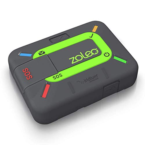
A NOAA Weather Radio picks up NWS alerts from a local transmitter, with no cell tower involved. However, range depends on distance to the nearest one. Meanwhile, a satellite communicator adds two-way texting and SOS.
Whether you stay out or move your trip to Thursday, pack both channels. The Midland ER310 weather radio handles NWS alerts. Then the Garmin inReach Mini 2 and ZOLEO communicators handle texting and SOS. Both communicators need an active service plan, so activate one and send a test message before you leave home.
Flood Alerts and SOS Without Cell Service


Where the Flood Watches Run, Sunday Night to Wednesday
Two NWS terms shape everything below. A Flood Watch means conditions favor flooding, but flooding is not certain, according to the NWS. In contrast, a Flash Flood Warning means a flash flood is imminent or already underway. When one hits your area, move to high ground at once.
Next, the table below groups the watches by trail region. Times are local, as posted by each NWS office on Saturday and Sunday.
| Trail region | NWS office | Watch window |
|---|---|---|
| Canyonlands, La Sal and Abajo Mountains, Southeast Utah zone (not Moab town) | Grand Junction | Mon 6 AM to Wed 6 AM MDT |
| San Rafael Swell, Capitol Reef, Zion, Lake Powell | Salt Lake City | Mon 6 AM to Tue 6 AM MDT |
| San Juan Mountains, Uncompahgre Plateau, Wolf Creek Pass | Grand Junction, Pueblo | Mon 6 AM to Wed 6 AM MDT |
| Grand Canyon, Sedona, Mogollon Rim | Flagstaff | Sun 11 PM to Tue 11 PM MST |
| Superstitions, Tonto Basin, Globe | Phoenix | Tue 12 AM to 9 PM MST |
| Tucson, Mount Lemmon, Chiricahuas | Tucson | Mon 11 AM to Tue 11 PM MST |
| Lake Havasu, Lake Mead, Hualapai Mountains | Las Vegas | Mon 5 AM to Tue 5 AM or 11 PM PDT |
| New Mexico, nearly statewide | Albuquerque, El Paso | Mon noon or 6 PM to Wed 6 AM MDT |
| Guadalupe Mountains, Van Horn | Midland | Mon 6 PM to Wed 6 AM MDT |
Two details matter for trip planning. First, the central Utah watch ends Tuesday morning, a full day before the Canyonlands and La Sal watch. Second, every Arizona watch covers Tuesday, so plan any Arizona trail day for Thursday or later.
Utah Flash Flood Hot Spots: Canyonlands, the La Sals and the Swell
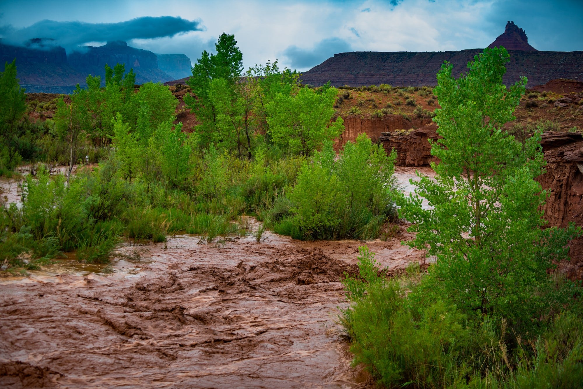
The Utah flash flood risk centers on washes and slickrock, from Canyonlands to the San Rafael Swell. NWS Salt Lake City covers the Swell, Capitol Reef and Zion. Specifically, it names slot canyons, dry washes, slickrock areas and recent burn scars as the most flood-prone ground. The office also expects isolated storms to drop rain at more than 1 inch per hour.
Moab town sits outside the watch zones. Even so, Grand Junction’s watch covers Canyonlands, the La Sal and Abajo Mountains, and the Southeast Utah zone. Rain on those peaks feeds washes far downstream. As a result, a wash under blue sky still floods when storms sit over the mountains. Grand Junction adds a second warning: unpaved roads might turn muddy and impassable.
Rain turns unpaved Canyonlands roads into four-wheel-drive condition or makes them impassable, the park says. Check its road conditions page before you commit to the White Rim or Elephant Hill. After things dry out, our map of the best off road trails in Utah covers the main routes.
Grand Canyon Flash Flood Risk, Sedona and the Superstitions
Arizona’s watches cover more ground than Utah’s. Sedona sits inside the Flagstaff watch, which runs from Sunday night through Tuesday night. In addition, its zones include Grand Canyon Country, Marble and Glen Canyons, Oak Creek and Sycamore Canyons, and the Mogollon Rim. The office flags burn areas, washes, swimming holes and low-water crossings, plus possible rises on the Little Colorado River.
Farther south, Phoenix expects rain rates of 1 to 2 inches per hour on Tuesday. Storms might also train over parts of the watch area, piling up heavier totals. Similarly, Tucson calls for 1 to 2 inches across most of southeast Arizona, with more under the strongest storms. Save Sedona and Grand Canyon trail days for Thursday or later.
San Juans, New Mexico and West Texas
In Colorado, the Grand Junction and Pueblo offices cover the San Juans, from the Uncompahgre Plateau to Creede, South Fork and Wolf Creek Pass. Creeks and streams there might rise out of their banks.
New Mexico faces a multi-day soaking. Albuquerque describes a near-record to record surge of moisture meeting two merging storm systems. Moreover, the rain falls on soil already soaked by last week’s storms. Burn scars top its list, including the Ruidoso-area, Frijoles, Sacaton, Hummingbird and Whiskey scars. For background, our guide to dispersed camping in New Mexico explains how monsoon storms flood arroyos and turn clay roads to gumbo. Down south, Midland’s watch covers the Guadalupe Mountains and Van Horn through Wednesday morning.
Driving Through Flood Water and Wet Clay
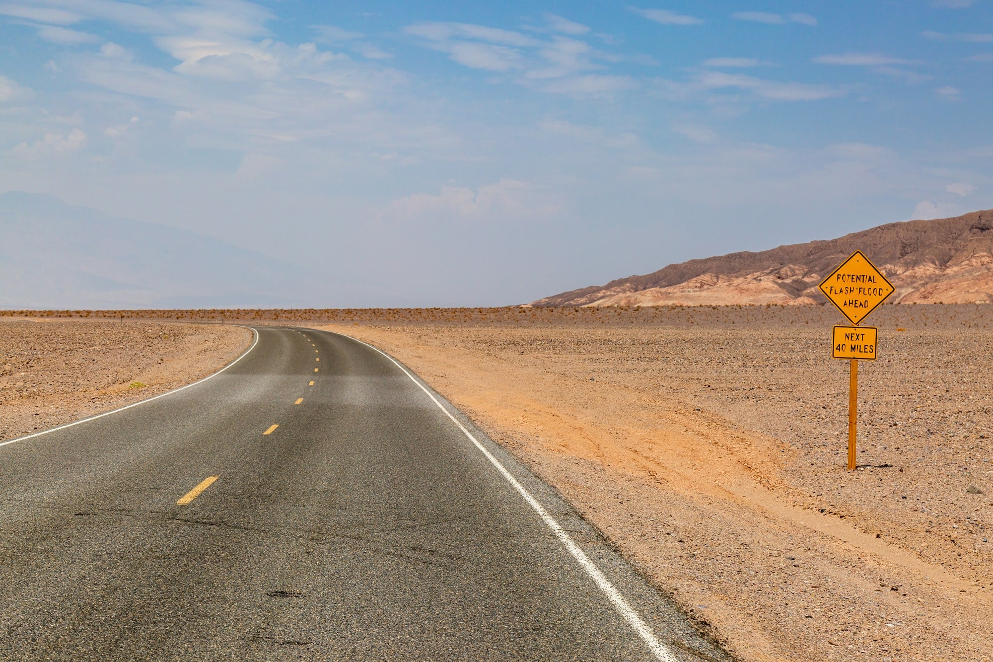
Safety note: Never drive into moving water. The NWS says 12 inches of rushing water carries away most cars, and 2 feet carries away SUVs and trucks.
Driving through flood water causes more than half of flood drownings, according to CDC figures the NWS cites in its Turn Around Don’t Drown campaign. I drive a Colorado ZR2, and its lift changes neither number. The danger is the current, not the air intake, so a snorkel changes nothing either.
Instead, stop at any wash with moving water and park on high ground well back from the bank. Then wait for the flow to stop, even if the far side looks close.
Wet clay brings a slower problem. If rain catches you on a clay road, stop before the ruts deepen and let the surface dry. Should you bog down anyway, three tools do most of the work: an ARB E-Z Deflator to air down, a DMOS Stealth Shovel to clear packed mud, and MAXTRAX MKII boards for grip. Still, none of them makes a running wash safe to cross.
If Wet Clay Stops Your Rig

ARB ARB505 Deflator Kit 10-60 PSI Tire Pressure Gauge Rapid Air Dow…


What This Means for You
If your trip falls between Sunday night and Wednesday, push it back or pick a route outside the watch areas. Northern Utah and Nevada outside southern Clark County carried no Flood Watch as of Sunday midday.
If you are already out there, use Sunday well. Move camp out of washes and off low benches, using the high-ground checks in our guide to pick a safe campsite. Also, tell someone at home your route and a check-in time.
Plan any return for Thursday at the earliest, and check agency pages first. After a flood, washouts, debris and soft shoulders stay behind once the water drops.
Final Thoughts
If you had a trail day circled this week, this forecast stings. The Utah flash flood threat peaks Monday into Tuesday, while New Mexico and Texas stay under watches into Wednesday morning.
My take: if your trip starts Monday, move it to Thursday and do not think twice. Moab’s trails will still be there next weekend, and so will the Grand Canyon.
If you stay out, keep camp high, run a weather radio, and turn around at any moving water. Flash flood safety this week comes down to those three habits. Stay dry, and I hope the only thing you bring home is a good story about the rain.
Utah Flash Flood FAQ
When does the Utah flood watch end?
The NWS Grand Junction watch for Canyonlands and the La Sals runs until 6 AM MDT Wednesday, September 30. Moab town sits outside it. For the San Rafael Swell, Capitol Reef and Zion, the NWS Salt Lake City watch ends at 6 AM MDT Tuesday. Either office extends or cancels watches as forecasts change.
Is it safe to camp in Utah washes near Moab this week?
No. The Utah flash flood risk runs highest in washes, so camp on high ground well above any wash, dry or not. Rain on the La Sal or Abajo Mountains sends water into washes miles away, even under clear sky at camp.
What is the Grand Canyon flash flood risk this week?
NWS Flagstaff has Grand Canyon Country, Marble and Glen Canyons, and the Kaibab Plateau under a Flood Watch. It runs from 11 PM Sunday to 11 PM Tuesday MST. Washes, swimming holes and low-water crossings face the highest risk. Check park alerts before you hike.
How deep is too deep for a 4×4 at a flooded crossing?
The NWS says 2 feet of rushing water carries away SUVs and trucks, and 12 inches carries away most cars. Because depth is hard to judge in muddy water, treat any moving water as too deep.
When should I drive Utah dirt roads after the rain?
Plan for Thursday at the earliest, once the watches expire and the roads dry out. Then check the Canyonlands and BLM Moab pages. Wet clay turns impassable, and washouts and debris stay behind after the water drops.