



Quick Facts:
- Plan: Trail Canyon Travel Management Plan (BLM, Kanab Field Office)
- Location: Kane County, Utah, near Kanab
- Routes at stake: 473 miles of OHV routes
- Most restrictive option: closes 141 miles (29%)
- Access-focused option: keeps 446 miles open (95%)
- Comment deadline: July 22, 2026
- Best for: Off-roaders, overlanders, and campers who ride southern Utah
5 min read
In This Guide
Trail Canyon Travel Management Plan Overview
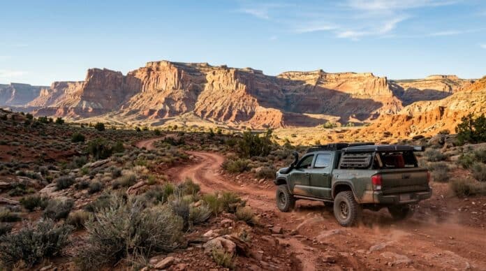
The Trail Canyon Travel Management Plan will decide the future of 473 miles of OHV routes in Kane County, Utah. The Bureau of Land Management runs this plan through its Kanab Field Office. Right now, the agency is weighing four options, and one of them closes nearly a third of the network. If you ride near Kanab, this decision shapes where your rig goes for decades.
The planning area covers about 326,376 acres in southern Utah. Of the total, 182,766 acres sit under BLM management. This landscape sits between Zion National Park to the west and Grand Staircase-Escalante National Monument to the east. To the north lies the Dixie National Forest, while the Utah-Arizona border marks the southern edge. Because visitation keeps rising each year, land managers face growing pressure over access.
This review traces back to a 2017 legal settlement. After wilderness advocacy groups sued over the 2008 route designations, the BLM agreed to revisit them through a full travel management process. The current Draft Environmental Assessment is the result. Therefore, the public comment period now open runs through July 22, 2026.
For off-roaders, overlanders, and dispersed campers, the stakes stay clear. The most restrictive option would erase routes riders have used for generations. Meanwhile, the access-focused option keeps 95% of the network open. Your comment helps the agency weigh which direction to take.
Key Facts at a Glance
| Detail | Value |
|---|---|
| Managing agency | BLM Kanab Field Office |
| Location | Kane County, Utah |
| Total planning area | 326,376 acres |
| BLM-administered land | 182,766 acres |
| OHV routes under review | 473 miles |
| Wilderness study areas involved | 5 |
| Comment deadline | July 22, 2026 |
The Four Alternatives in the Trail Canyon Travel Management Plan
This plan lays out four alternatives. Each one sets a different balance between open routes and closures. Here is how the four options compare on open, limited, and closed mileage.
| Alternative | Open | Limited | Closed |
|---|---|---|---|
| A: No Action | 473 mi (96%) | 0 | 19 mi (4%) |
| B: Conservation | 326 mi (71%) | 2 mi | 141 mi (29%) |
| C: Balanced | 423 mi (91%) | 5 mi | 41 mi (8%) |
| D: OHV Access | 446 mi (95%) | 0 | 23 mi (5%) |
Alternative A is the control option. The BLM uses it to measure the others, so the agency will select B, C, D, or a blend. Alternative B stands out as the most restrictive. Notably, it would close 141 miles total, including 124 miles open to riders today.
Why BlueRibbon Backs Alternative D
BlueRibbon Coalition supports a variation of Alternative D. This option keeps 446 miles open, or 95% of the network. It closes only 23 miles, and only 4 of those sit open today. Notably, this access-focused choice leaves nearly all routes inside the five wilderness study areas open. Because those roads existed before the study areas were drawn, the group argues they should stay open under the plan.
Which Routes Face Closure Near Kanab
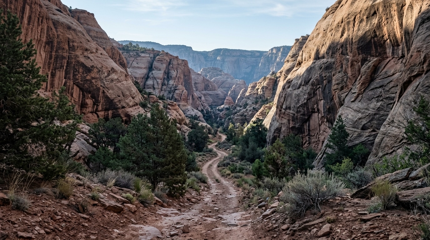
Under Alternative B, riders would lose access to some of the most valued terrain near Kanab. This option closes every primitive route inside the five wilderness study areas. It also shuts all routes in BLM Natural Areas. On top of those cuts, it closes 81% of routes in lands with wilderness characteristics.
BlueRibbon argues these closures do not match documented resource damage. In fact, the BLM route reports repeatedly note no known user conflict on many of the roads slated to close. For riders, the concern stays simple. Once a route closes, reopening it takes years of legal and administrative work, if it happens at all.
How to Submit a BLM Comment Before July 22
The public comment period runs through July 22, 2026. The BLM held a public meeting on July 9 at the Kanab Center, so the written window is now the main way to weigh in. To comment, visit the BLM ePlanning page for the Trail Canyon project and submit through the official portal.
Effective comments stay specific. First, name the alternative you support. Then explain how you use the routes. For example, describe a dispersed camping trip in Utah or a trail you run with family. BlueRibbon Coalition also hosts a comment form, which builds an independent record of community input.
Why This Plan Matters for OHV Access
The Trail Canyon plan is one piece of a wider pattern across the West. Similar travel plans are reshaping access on millions of acres. For example, the nearby Dinosaur North travel plan affects 700 miles of routes near Vernal.
Because these plans move quietly, many riders learn about closures only after the gates go up. Losing 141 miles near Kanab would ripple outward. Fewer open routes push more traffic onto the trails left behind, which raises the odds of further restrictions. Similarly, the 2,200-mile Mojave closure shows how fast access shrinks once an agency acts.
What the Plan Means for Your Access
If you ride southern Utah, the Trail Canyon plan deserves your attention now. The comment deadline is July 22, 2026, and the outcome sets route access for years. Above all, the choice between the options decides how much of the network stays open.
Alternative D keeps 95% of routes open, so most riders would notice little change under it. Alternative B, by contrast, would close a third of the network. As a result, the gap between the two options runs to 120 miles of open routes.
Your input carries weight because the agency must defend its final choice under federal law. Specific, respectful comments help. Support the alternative you prefer, and file before July 22. Meanwhile, the same agencies are reviewing the snowmobile access rule and national forest travel elsewhere, so staying involved protects trails beyond Kanab.
Frequently Asked Questions
What is the Trail Canyon Travel Management Plan?
This plan is a BLM review of 473 miles of OHV routes in Kane County, Utah. The agency proposes four alternatives, from near-total access to closing 141 miles. A 2017 legal settlement forced the review after advocacy groups sued over earlier route designations.
When is the Trail Canyon comment deadline?
The public comment period closes on July 22, 2026. The BLM held an in-person meeting on July 9 at the Kanab Center. After the deadline, the agency reviews input before choosing a final alternative.
How many OHV miles would close near Kanab?
Closures range from 19 miles under Alternative A to 141 miles under Alternative B. Option B removes access to 124 miles open today. Option D, the access-focused choice, closes only 23 miles.
Which alternative does BlueRibbon Coalition support?
BlueRibbon Coalition backs a variation of Alternative D. This option keeps 446 miles open, or 95% of the network. The group wants routes inside the five wilderness study areas to stay open because they predate those designations.
Where is the Trail Canyon Travel Management Area?
The area covers 326,376 acres near Kanab, in southern Utah. It sits between Zion National Park and Grand Staircase-Escalante National Monument. The BLM manages 182,766 acres inside the boundary.
How do you submit a comment to the BLM?
Visit the BLM ePlanning page for the Trail Canyon project and submit through the official portal. Name the alternative you support, and describe how you use the routes. File your comment before the July 22, 2026 deadline.