


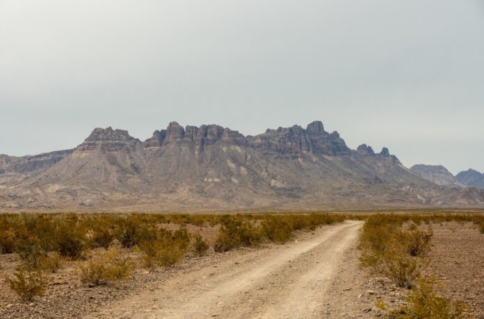
Quick Facts:
- Topic: The Big Bend border wall ruling and what it means for 4×4 trips.
- Ruling: Supreme Court stay of an injunction, Nov. 9, 2026, No. 26A560.
- Border sector: 517 miles of the Rio Grande, including Big Bend National Park.
- Planned in the park: Roads and about 17 miles of vehicle barriers, per CBP figures reported by CBS News.
- 30-foot wall in the park: CBP says none is planned.
- Current NPS closures: Weather related, per the Nov. 3 NPS update.
7 min read
In This Article
Overview
The Big Bend border wall case changed on Nov. 9, when the Supreme Court allowed federal crews to resume barrier and road construction in West Texas. If you drive the backcountry roads of Big Bend National Park, you need to know what the order changes today. You also need to know what it leaves open.
The order is not a final ruling. It suspends an injunction while the lawsuit moves forward. Customs and Border Protection (CBP) says it is not building a 30-foot wall through the park. However, it does plan roads and vehicle barriers inside park lands.
This article separates confirmed facts from plans, including which 4×4 roads the National Park Service (NPS) lists as closed.
Big Bend Border Wall Key Facts at a Glance
| Item | Details |
|---|---|
| Supreme Court order | Nov. 9, 2026, No. 26A560, unsigned; Justice Jackson would have denied the request. |
| Big Bend Sector | 517 miles of border along the Rio Grande. |
| Planned inside the park | More than 200 miles of patrol roads and about 17 miles of barriers, per CBP figures reported by CBS News. |
| 30-foot wall in the park | CBP says it is not building one. |
| Earlier pause | CBP paused park work Aug. 17; the pause lapsed Sept. 30. |
NPS calls a disabled vehicle on Big Bend’s isolated roads a potentially life-threatening situation. The National Geographic Trails Illustrated map shows the park’s roads on paper, the Garmin inReach Mini 2 sends texts and an SOS by satellite, and the Suunto MC-2 compass needs no battery.
Navigation and communication gear for Big Bend

Big Bend National Park Map (National Geographic Trails Illustrated Map


What the Supreme Court Decided About the Big Bend Border Wall
In Mullin v. Friends of the Ruidosa Church, the Court granted the government’s request for a stay. This unsigned order lifts an Oct. 2 injunction from the U.S. District Court for the Western District of Texas, which had halted all associated construction. Justice Ketanji Brown Jackson would have denied the application, according to the Court’s order.
The Court did not decide whether Big Bend needs a barrier. Instead, it said the government is exceedingly likely to win a narrow point. Under the statute, courts hear only constitutional claims, and the Court called the plaintiffs’ major-questions argument a statutory claim in disguise. In plain terms, the stay turns on which kinds of claims a court is allowed to hear.
The stay lasts while the government files and the Court decides any petition for review. If the Court denies review, the stay ends automatically. Meanwhile, the plaintiffs have vowed to keep pressing the case, so the legal fight is not over.
Whatever happens in court, the practical question is what changes on the ground. The next section covers what CBP says it plans inside the park.
Big Bend National Park Border Wall: What CBP Plans Inside
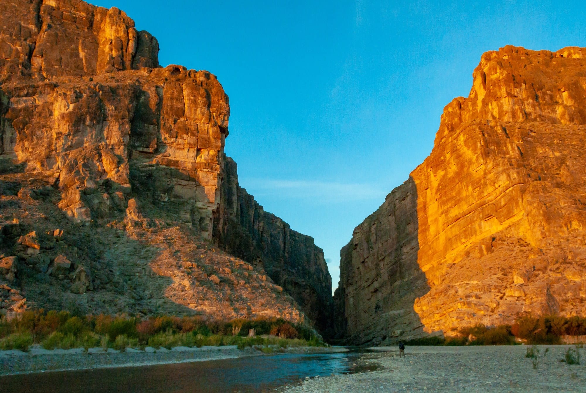
In an Aug. 13 statement, CBP Commissioner Rodney Scott said the agency is building one new access road, improving existing roads, installing detection technology and placing barriers in limited, strategic locations. He also said CBP is not building a 30-foot wall or stadium lighting through Big Bend National Park, Big Bend Ranch State Park or the Black Gap Wildlife Management Area.
Even so, the plans include roads and barriers inside the park. CBS News, citing CBP, reports more than 200 miles of patrol roads and roughly 17 miles of four- to six-foot vehicle barriers. Those barriers are far shorter than the 30-foot steel wall planned elsewhere in the sector, mostly on private ranch land.
According to the government’s Supreme Court filing, as summarized by The Kerr County Lead, CBP expects little to no effect on public access to the park or the river. The plaintiffs disagree. They argue the work would permanently alter a landscape including nearly 200 miles of Rio Grande Wild and Scenic River corridor.
The two sides describe earlier activity differently. Bulldozers cleared ground near Santa Elena Canyon on Aug. 6, according to the Center for Biological Diversity, while CBP called the activity survey and design work. The plaintiffs say work is possible in Big Bend Ranch State Park, but the government’s filing says no barrier construction is planned there.
Big Bend 4×4 Roads: Closed Now Versus Only Planned
Start with what is confirmed. The NPS alerts page, updated Nov. 3, lists weather-related closures. These include the paved road between Cottonwood Campground and Santa Elena Canyon, Hot Springs Road past the overflow parking lot, and River Road West to Glenn Springs Road. Black Gap Road stays closed until further notice because of flash flooding in 2025.
In contrast, the page lists no closure tied to border work. The patrol roads and barriers are plans for now, and neither the NPS page nor the CBP statement I reviewed gives a restart date for work inside the park.
NPS also describes the park’s backcountry roads as demanding. Old Ore Road and Black Gap Road are extremely rough and suit only the most rugged vehicles. NPS defines a high-clearance 4WD as an SUV or truck with a low-range transfer case, at least 15-inch rims and at least 8 inches of ground clearance. River Road runs 51 miles and requires high clearance and true four-wheel drive.
Campsites follow their own rules. The park offers 67 primitive roadside sites, and NPS says its campsite page, dated July 20, 2026, lists in-person permits at Panther Junction Visitor Center until further notice. Confirm the permit rule on the NPS campsite page before you drive out.
What This Means for You
Treat the ruling as a reason to plan, not to cancel. The NPS alerts page shows visitor centers open daily and no closure tied to border work. However, the plans have changed several times since February, according to The Kerr County Lead.
First, check the NPS alerts page the morning you leave, because road status changes with weather. Next, confirm your truck meets the NPS definition of high-clearance 4WD before you chase a roadside campsite. Then carry the basics NPS lists for rough roads: good tires, a good spare, a jack and water. Finally, build a backup route, since the closures on River Road West and Black Gap Road already change your loop.
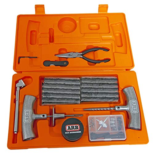
Rough backcountry roads cause flats and soft-sand stalls. The VIAIR 400P reinflates tires up to 35 inches, the ARB Speedy Seal 2 plugs a puncture, and the MAXTRAX MKII boards give stuck tires traction in sand or mud.
Recovery and tire gear for rough roads



MAXTRAX | MKII Titanium Grey Recovery Boards Pair | Heavy Duty Off-…
If your trip depends on one riverside campsite or on River Road West, plan a second option. I found no route-by-route schedule from CBP or the plaintiffs. For longer trips, learn how to plan a multi-day desert route with water, fuel and escape options.
Permits are the other pressure point. NPS says its popular roadside sites are reserved almost every night of the year, so read how to land a booked-up campsite before you arrive. If you are building a winter loop, see our guide to winter overlanding routes through West Texas.
Final Thoughts
The Supreme Court order settles one question for now: construction is allowed to continue while the case moves forward. It does not tell you which road will close on your trip, and none of the sources reviewed for this article lists such a schedule.
I would not cancel a Big Bend trip over the ruling. The facts available today point to open visitor centers, weather closures on specific roads, and construction plans CBP says will have little effect on access, though the plaintiffs say the work would alter the landscape. I would still check conditions often, because the plans have shifted before.
Watch the NPS alerts and the court case. If construction restarts inside the park, you will want to know before you load the truck.
FAQ
Is there a border wall in Big Bend National Park?
CBP says it is not building a 30-foot wall through the park. It does plan roads and about 17 miles of four- to six-foot vehicle barriers inside the park, according to CBP figures reported by CBS News. The plaintiffs dispute how much the work changes the landscape.
What did the Supreme Court decide about the Big Bend border wall?
On Nov. 9, 2026, the Court stayed an Oct. 2 injunction, which lets construction resume while the lawsuit continues. It did not issue a final ruling on the lawsuit. Justice Jackson would have denied the request.
Is Big Bend National Park closed because of border construction?
No closure tied to border work appears on the NPS alerts page, updated Nov. 3. The listed road closures are weather related. Check the page again before you leave.
Is Black Gap Road affected by the border barrier plans?
NPS lists Black Gap Road as closed until further notice because of 2025 flash flooding, not border work. Separately, CBP says it is not building a 30-foot wall through the Black Gap Wildlife Management Area.
Do I need a 4×4 for Big Bend’s backcountry roads?
Yes, for the primitive roads. NPS says River Road requires high clearance and true four-wheel drive, and Old Ore Road and Black Gap Road suit only the most rugged vehicles. Rangers will not issue roadside campsite permits to passenger cars, minivans or RVs for the 47 sites along River Road, Glenn Springs Road, Black Gap Road, Old Ore Road and Old Maverick Road.