



Quick Facts:
- Topic: Designated dispersed camping on National Forests
- Lead example: Navajo Lake Basin, San Juan National Forest
- Order: Lizard Head Wilderness Forest Order
- Effective: June 29, 2026
- Sites now: Nine marked sites, down from more than 50
- Cost: Free, first-come, first-served
- Reason: Protect water, soil, and wilderness solitude
- Best for: Overlanders and 4×4 campers who chase free sites
7 min read
In This Article
Designated Dispersed Camping Overview
Designated dispersed camping is changing how you camp on many National Forests in 2026. Under this model, a forest marks a set number of legal sites and closes camping everywhere else in the area. The San Juan National Forest put the approach in place at Navajo Lake Basin on June 29, 2026. For overlanders and 4×4 campers, the shift means fewer pick-your-own spots and more marked sites.
The old model let you pull off a forest road and camp almost anywhere. However, heavy use has pushed agencies toward tighter rules. Because popular basins keep spreading new fire rings and social trails, forests now cap the footprint. As a result, National Forest camping stays free, yet the where narrows.
This trend reaches well beyond one forest. Several Western forests moved the same direction for the 2026 season. For readers who chase free sites, the change rewards planning ahead. Similarly, it raises the value of knowing how to read a forest travel map before you leave home.
Key Facts at a Glance
| Item | Details |
|---|---|
| Location | Navajo Lake Basin, Lizard Head Wilderness, Colorado |
| Order | Lizard Head Wilderness Forest Order |
| Effective date | June 29, 2026 |
| Sites after change | Nine marked sites, down from more than 50 |
| Cost and access | Free, first-come, first-served |
| Nearest backup | Kilpacker Trail Junction, 2.3 miles south |
What Changed at Navajo Lake Basin
The San Juan National Forest and the neighboring GMUG forests updated the Lizard Head Wilderness Forest Order. Under the order, nine designated dispersed sites stay open in Navajo Lake Basin. Reports put the earlier count above 50 scattered sites. Therefore, the change removes most of the informal camping in the basin. All nine sites are first-come, first-served and clearly marked.
Location explains the pressure. Navajo Lake Basin sits inside the Lizard Head Wilderness. It holds the headwaters of the West Fork of the Dolores River. This river feeds nearby communities and native fish. Because the water starts here, damage upstream reaches far downstream.
The nine sites did not appear at random. An interdisciplinary team mapped them during fall 2024. Staff chose each spot for durable ground, low visibility, and a fit with wilderness standards. If you find every site full, the nearest legal camping sits near the Kilpacker Trail Junction, 2.3 miles south of the lake.
Why Forests Move to Designated Dispersed Camping
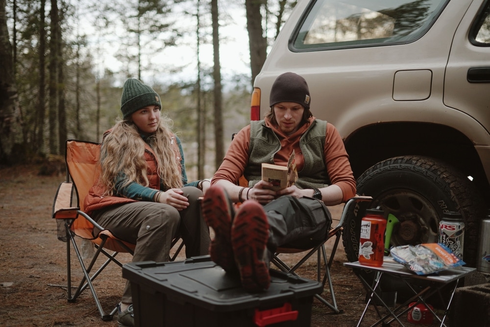
Forests move to the marked-site model to protect land and water. At Navajo Lake, monitoring showed campsite size and number climbing year over year. As a result, soil, water, and vegetation took the damage. Managers also cited lost solitude inside a designated wilderness.
The forest tried lighter steps first. For example, it banned campfires in the late 1990s. A 2021 order then blocked camping within 100 feet of the lake, streams, and wetlands. Because those measures fell short, staff mapped nine durable sites during fall 2024. Public feedback earlier in 2026 then shaped the final plan.
This cycle repeats across the West. First, a scenic spot gains fame through social media. Next, campers spread into fresh pull-offs and trample plants. Then monitoring flags the damage. Finally, the forest caps camping to a set of hardened sites. The marked-site model is the tool agencies reach for at the end of this sequence.
How Designated Dispersed Sites Work
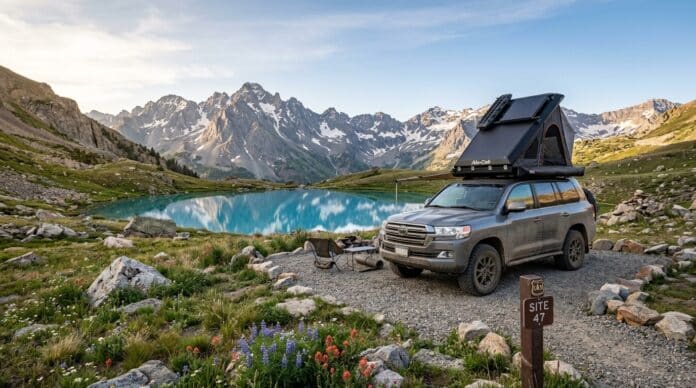
A designated dispersed site sits between open dispersed camping and a developed campground. You still get a primitive, free spot with no hookups or bathrooms. However, you park and sleep only at a marked location. A post, a number, or a cleared pad usually marks each one.
Rules stay simple at most sites. First, take only marked spots and leave the rest closed. Second, keep your rig on the durable pad, not on plants. Third, pack out all trash and human waste. Because sites run first-come, first-served, none of them take reservations. As a result, weekends fill fast, so arrive early and hold a backup plan.
A Wider 2026 Trend Across the West
Navajo Lake is one example among several for 2026. On the White River National Forest in Colorado, a concessionaire will manage 48 designated dispersed sites in Homestake Valley. Near Leadville, busy forest-road corridors shift to vehicle-based designated camping this year. In Arizona, a standing forest order limits camping to eight named areas through August 2026.
Other regions show the same push. For instance, popular corridors near Moab and Sedona have added marked sites and seasonal closures over recent years. Meanwhile, some forests hand daily management to a paid concessionaire. As a result, a share of once-free ground now carries a nightly fee.
Each case follows the same logic. Heavy use meets limited staff, so forests cap the footprint. For campers, the pattern points one way. Expect more marked sites and fewer open pull-offs near popular lakes and trailheads.
Stay Limits and Fees to Know
Stay limits apply whether a site is open or designated. On most National Forest and BLM land, you camp up to 14 days in one spot. Some forests add an annual cap. The Shasta-Trinity National Forest, for example, limits total stays to 30 days per year. On BLM ground, the common rule is 14 days within a 28-day window.
Fees depend on who runs the site. A basic marked site often stays free. However, a concessionaire-managed site adds a nightly charge. Before you drive out, read the specific forest order for the area. Because rules differ forest by forest, one guide rarely covers every unit. When a posted sign and an app disagree, follow the sign.
How to Camp Under Designated Dispersed Camping Rules
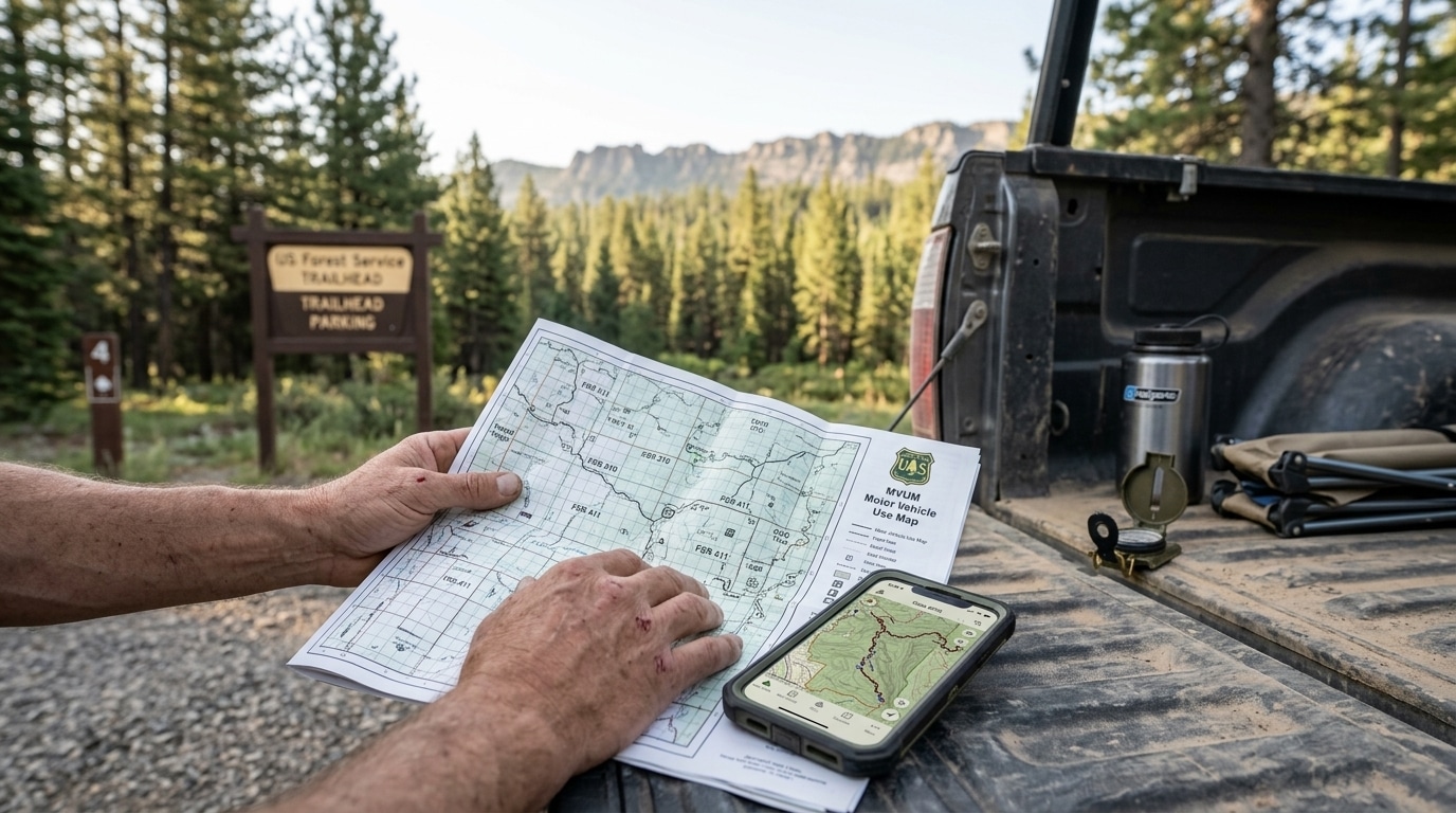
Camping under designated dispersed camping rules takes a little prep. National Forest camping now rewards a quick look at the forest alerts page before you drive out. Then confirm whether your target area uses marked sites or open dispersed. Because sites run first-come, first-served, arrive early and carry a backup plan. Our dispersed camping hub covers the core rules, while our Colorado dispersed camping guide maps free sites near San Juan country.
Map skills help most of all. Learning to read a Motor Vehicle Use Map keeps you on legal ground. Our guide on how to find dispersed camping and read an MVUM walks through the symbols. For the Navajo Lake order itself, the San Juan National Forest release lists the site map and contacts.
Apps add another layer of help. Tools like onX Offroad and Gaia GPS show land boundaries and forest roads offline. Still, treat app data as a starting point, not the final word. Always match it against the current forest order, since closures change faster than map layers. When rules conflict, the posted order wins.
Camp Without Adding to the Problem
Your habits decide whether more closures follow. Because designated dispersed camping grows out of damage, low-impact camping keeps ground open. First, reuse an existing pad instead of clearing a new one. Second, camp at least 100 to 200 feet from lakes and streams unless the site sits closer already.
Waste handling matters most in fragile basins. Pack out trash, food scraps, and toilet paper every time. For solid waste, bury it 6 to 8 inches deep and well away from water, or carry a portable toilet. Above all, follow the local order over any general habit, since wilderness areas often add stricter rules.
Frequently Asked Questions
What is designated dispersed camping?
This model limits overnight stays to a set of marked sites within an area. A forest closes camping outside those sites. The model sits between open dispersed camping and a full developed campground.
Are the marked sites still free?
Yes, at Navajo Lake the nine sites stay free and first-come, first-served. However, some forests add a concessionaire or fee at other locations. Always check the local order before you go.
What changed at Navajo Lake Basin in 2026?
On June 29, 2026, the forest limited camping to nine designated dispersed sites. Reports put the earlier count above 50. The order protects the West Fork Dolores River headwaters and native fish.
How many campsites are left at Navajo Lake?
Nine designated dispersed sites remain open in the basin. All are marked and first-come, first-served. If every site is full, the nearest legal camping sits 2.3 miles south near the Kilpacker Trail Junction.
What is the stay limit at a dispersed site?
Most National Forest and BLM land allows 14 days in one spot. Some forests add an annual cap, such as 30 days per year. Always confirm the limit in the local forest order.
Why are forests limiting dispersed camping?
Heavy use spreads campsites, tramples plants, and fouls water. Because staff numbers stay flat, forests cap camping to durable, marked sites. The goal is to protect soil, water, and solitude.
How do I find legal dispersed camping now?
Start with the forest alerts page and a Motor Vehicle Use Map. Then confirm whether your area uses marked sites. Learning the map symbols keeps your camp legal and avoids fines.