


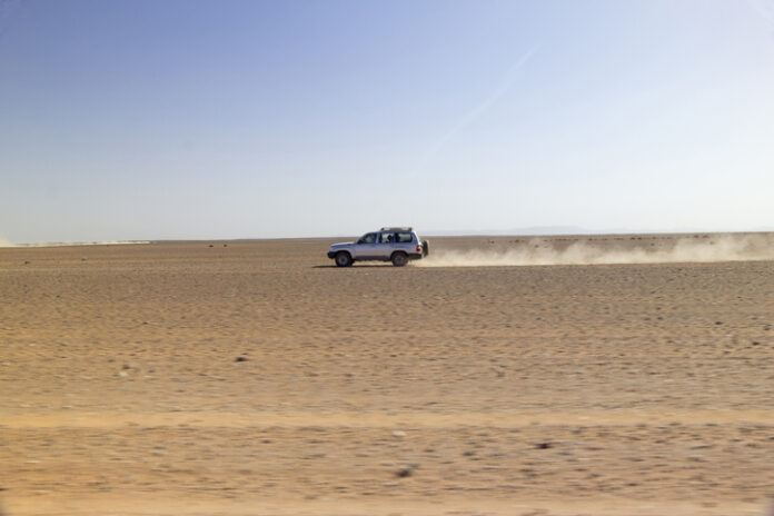

At 4WDTalk, we’ve planned and run multi-day desert routes across the American Southwest. The variables in desert overlanding route planning aren’t optional details you sort out at the trailhead. They’re decisions you make weeks out, because a miscalculation on water or fuel in a remote desert canyon doesn’t mean a bad day. It means a rescue call or worse. Desert overlanding route planning is a distinct discipline from general trip planning, and the margin for error is thinner than most beginners expect.
This guide covers the full desert overlanding route planning process: how to research routes using the right tools, how to calculate water and fuel needs tied to your specific route segments, and how to prep your vehicle for the heat and terrain conditions unique to desert travel. These are the same systems experienced desert travelers use, not generic overlanding advice repackaged with a “desert” label. The techniques here apply whether you’re running the Arizona Trail, exploring BLM land in southern Utah, or crossing a Nevada desert basin for the first time.
Quick Facts:
- Topic: Multi-day desert overlanding route planning: research, water, and vehicle prep
- Skill level: Intermediate; beginners should complete shorter day trips first
- Planning lead time: 2 to 4 weeks minimum for a serious multi-day desert route
- Water baseline: 1 gallon per person per day minimum; 1.5 to 2 gallons recommended for summer desert heat
- Fuel buffer: Add 20 to 40% to estimated fuel consumption for desert terrain
- Key tools: Gaia GPS or onX Offroad, Caltopo, BLM land status layers, paper topo backup
- Best for: Overlanders planning first multi-day desert routes in the American Southwest
9 min read
In This Guide
- Why Desert Route Planning Is Different
- Route Research: Tools and Methods
- Water Planning: The Math Keeping You Safe
- Fuel Planning for Desert Terrain
- Desert Vehicle Prep Checklist
- Timing, Bailout Routes, and Rally Points
- Desert Overlanding: Rewards and Risks
- Final Checklist Before You Leave
- Frequently Asked Questions
Desert Overlanding Route Planning: Why the Desert Is Different
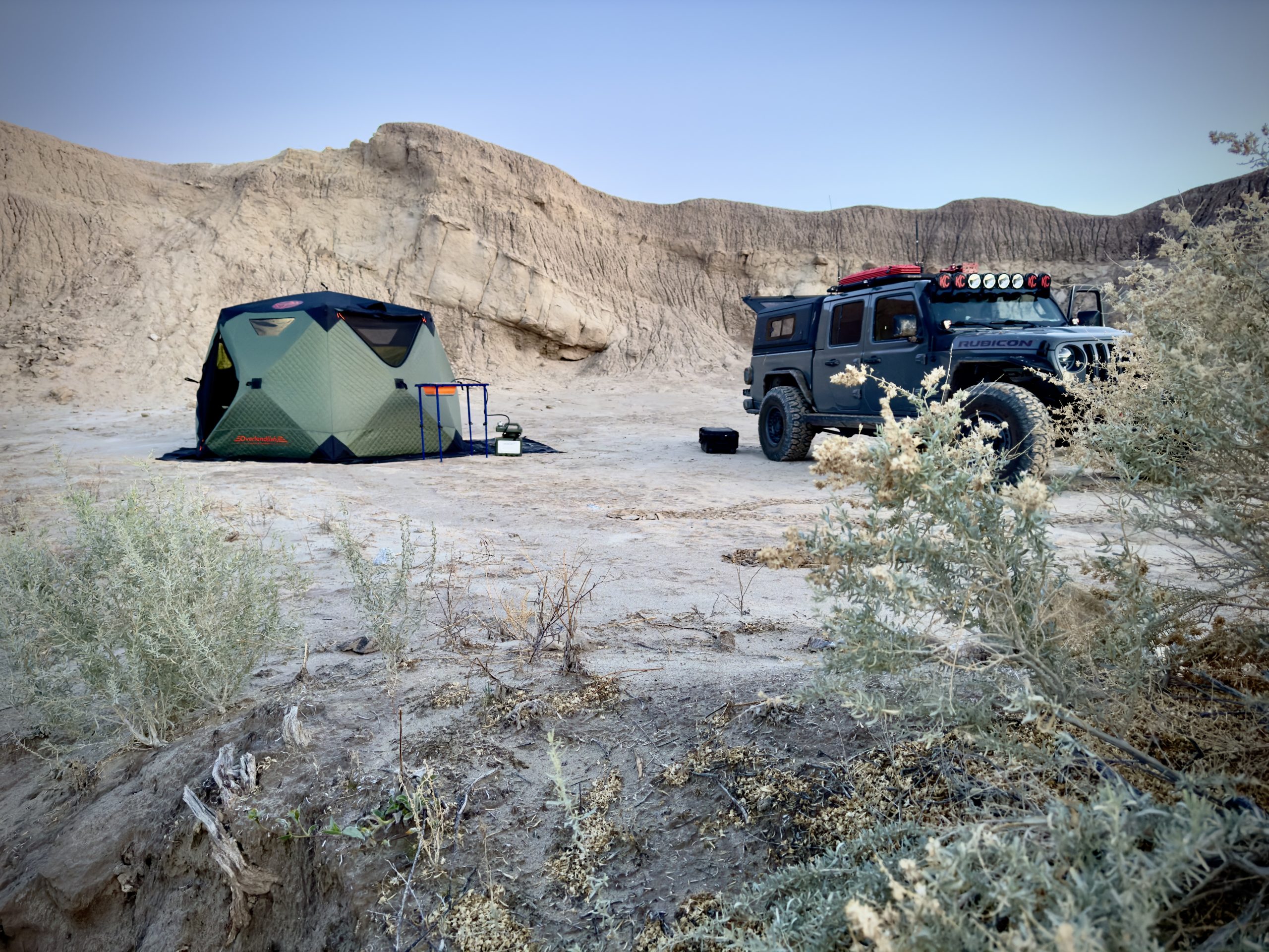
Desert overlanding route planning introduces variables absent from forest or mountain overlanding. Heat accelerates every mechanical failure. Water sources marked on maps are frequently seasonal or unreliable. Cell service disappears for stretches measured in hours, not minutes. Additionally, sand and washboard roads increase fuel consumption by 20 to 40% compared to pavement. Consequently, the planning process for a multi-day desert 4×4 trip requires more precision than other overland environments.
The core difference is margin for error. On a forest trail, running low on water means discomfort. In the Sonoran Desert in July at 110°F, however, the same situation becomes a medical emergency within hours. Specifically, desert route planning requires you to solve three problems simultaneously: knowing exactly where you’re going, knowing exactly what resources you need, and knowing exactly what your vehicle needs to handle the conditions. Each section of this guide addresses one of those problems. For a broader pre-trip foundation, our complete overlanding checklist covers the full gear and planning picture beyond the desert-specific items here.
Route Research: Tools and Methods for Desert Overlanding
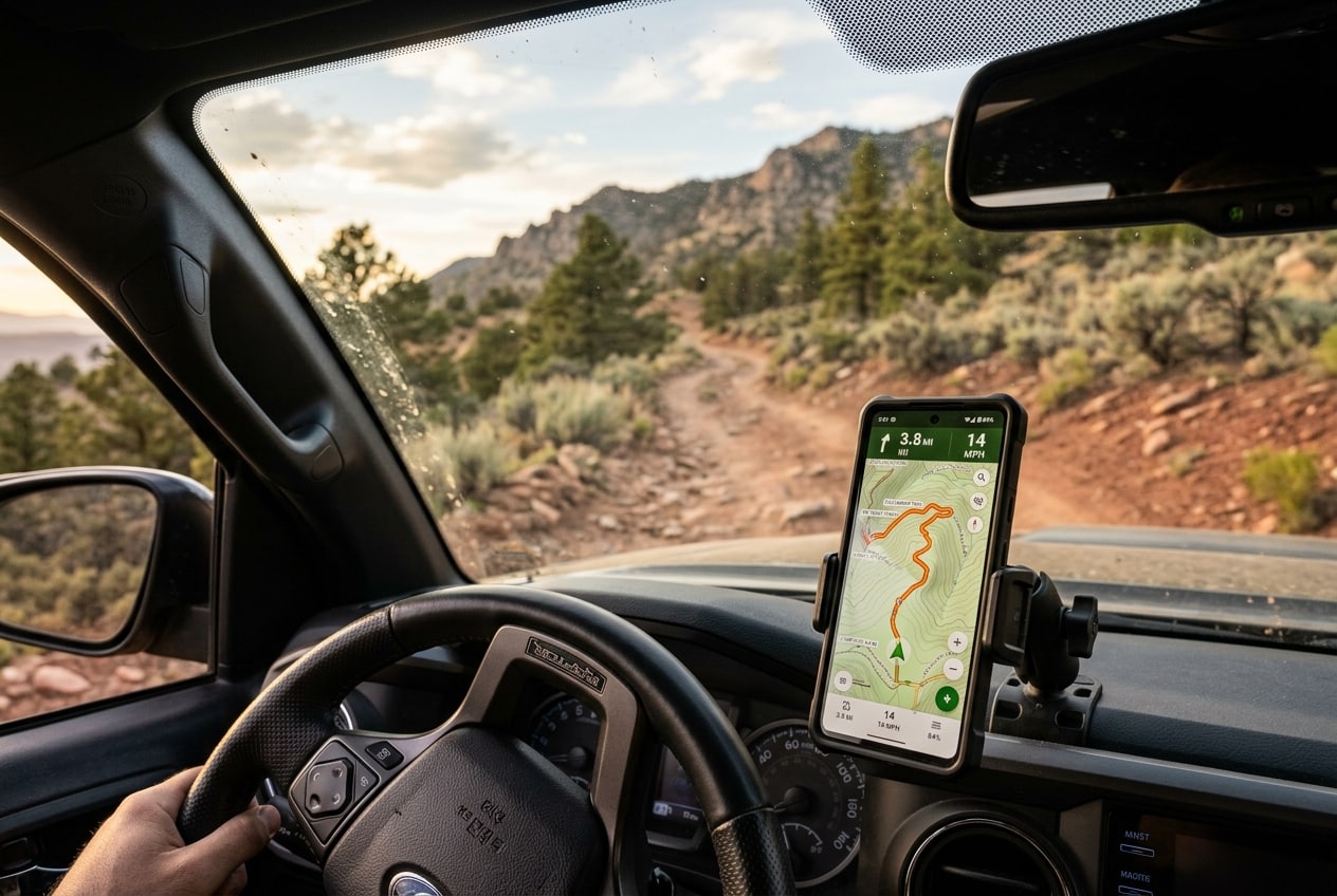
Desert route research starts with layering data sources, not relying on a single app. No single tool gives you the complete picture. Instead, experienced desert travelers cross-reference at least three sources: a navigation app with offline capability, satellite imagery, and land status data. Specifically, each source fills gaps the others leave.
Navigation Apps for Desert Route Planning
Gaia GPS and onX Offroad are the two leading overlanding route research tools for US desert terrain. Gaia GPS offers better topo layer options and Caltopo integration, making it the stronger choice for detailed elevation analysis and water source research. onX Offroad, however, has sharper land ownership layers and better road condition data from its user community. Many serious desert travelers use both: Gaia GPS for pre-trip planning and onX for real-time navigation. Download all relevant tiles for offline use before you leave, because cell service in the Mojave, Sonoran, and Great Basin disappears entirely for 50 to 100-mile stretches.
Satellite Imagery and Land Status
Satellite imagery confirms whether the topo map’s route is drivable. A route marked as a track on paper maps sometimes crosses washes, loose sand fields, or rock bands not visible on standard topo layers. Specifically, zoom into satellite view on every section where the terrain changes significantly. BLM land status layers in Gaia GPS or the BLM’s own GeoBOB system identify areas with seasonal closures, permit requirements, or fire restrictions. Check these layers within two weeks of departure, since conditions change. Also consult the relevant BLM field office directly for route-specific conditions on significant desert crossings.
Community Route Reports
iOverlander, Campendium, and Expedition Portal forums provide recent human reports on route conditions. For desert route research, filter for posts from the same season you’re traveling. A route passable in October becomes impassable in June after flash flood season reshapes washes. Similarly, a road described as “rough but doable” in a winter report requires reassessment for a summer trip when sand softens in peak heat. Cross-reference at least two recent reports before committing to any segment you haven’t driven personally, since conditions vary dramatically by season.
Desert Overlanding Water Planning: The Numbers Keeping You Safe
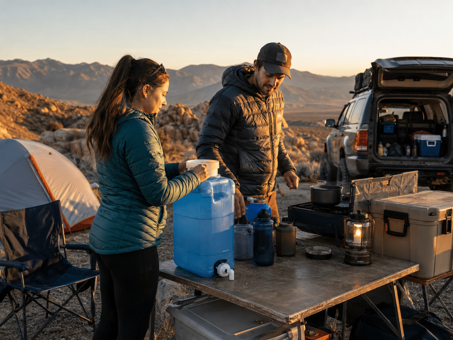
Water planning for a multi-day desert 4×4 trip requires a calculation, not a rough estimate. The standard backpacking figure of one liter per hour of activity doesn’t apply to vehicle-based desert travel, where you’re less physically active but more exposed to ambient heat. For desert overlanding water planning, the baseline is 1 gallon per person per day for mild conditions (under 85°F). For summer desert heat above 95°F, however, increase to 1.5 to 2 gallons per person per day.
How to Calculate Your Water Needs
Start with your group size and trip length, then apply the temperature modifier. A solo driver on a 4-day desert route in September should plan for a minimum of 8 gallons of drinking and cooking water. For a 2-person trip in July across the Sonoran Desert, the figure jumps to 12 to 16 gallons before any margin. Add a 20% emergency buffer on top of your calculated total, because this buffer covers unexpected delays, a vehicle breakdown requiring you to shelter in place, or a water source turning out to be dry. The emergency buffer isn’t optional on remote desert routes.
Vehicle Water for Cooling Emergencies
Carry 2 to 4 gallons of distilled water separately from your drinking supply. Desert heat stresses cooling systems. If your engine overheats on a remote route, you need coolant-safe water to stabilize the system before the temperature climbs into engine-damage territory. Distilled water mixes cleanly with any coolant formulation, while regular drinking water works in a pinch but introduces minerals to the system. Keep this water labeled and stored separately so you don’t accidentally drain your cooling reserve into a coffee pot at camp.
Locating Desert Water Sources
Reliable desert water sources for 4×4 trips are rare and require verification. iOverlander marks confirmed water sources with recent user check-ins. Caltopo’s USGS topo layer shows springs and water features, but many are seasonal. The desert Southwest typically lists reliable springs in the Earthdata water services database and local BLM office resource pages. Never plan a route where a natural water source is your only resupply option. Instead, always carry enough to complete the route without resupply. Use natural sources only to extend your margin, not as a dependency.
Tire Management for Desert Routes
Air Down for Sand, Back Up for the Road Home
Desert driving means airing down for every soft section and pumping back up before pavement. MORRFlate inflates all four tires simultaneously, cutting re-inflation time from 20 minutes to under 5.
Fuel Planning for Multi-Day Desert 4×4 Trips

Desert terrain consumes significantly more fuel than highway or forest driving. Deep sand increases rolling resistance and forces the engine to work harder in lower gears. Similarly, washboard roads create constant micro-braking and acceleration at the wheel level. The result is fuel consumption 20 to 40% higher than your on-road baseline, depending on terrain type and load.
How to Calculate Desert Fuel Range
Start with your vehicle’s real-world off-road fuel economy, not the EPA figure. If you don’t know it from previous trips, use 60% of your highway MPG as a conservative desert estimate. Apply this figure to your route distance, then add your 30 to 40% terrain penalty. For example, a 200-mile desert route in a truck averaging 15 MPG highway should assume 9 to 10 MPG in mixed desert terrain. At 10 MPG, 200 miles requires 20 gallons. Add a 25% safety buffer, and your planning figure becomes 25 gallons. If your tank holds less, add a fuel container or auxiliary tank solution before departure.
Fuel Sources on Desert Routes
Map every confirmed fuel stop along your route and note hours of operation. Many small desert towns have one station, and it closes at 6 PM. Others are seasonal. Use GasBuddy and the station’s direct phone number to confirm hours within 48 hours of your departure. Never assume a station marked on a map is currently operating, since desert service stations close or reduce hours without updating online listings. For routes where fuel stops are more than 150 miles apart, carry extra fuel. A 5-gallon fuel container adds meaningful range insurance with minimal weight penalty.
Desert Vehicle Prep Checklist
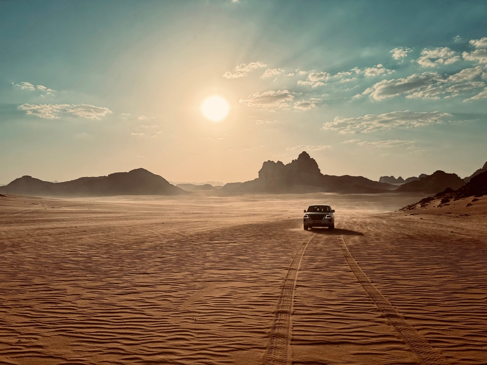
Desert conditions stress vehicles differently than other terrain types. Heat is the primary variable. Specifically, oil viscosity, cooling system integrity, tire pressure, and electrical system reliability all become more critical when ambient temperatures exceed 100°F and you’re hours from any assistance.
Cooling System and Fluids
Check the cooling system thoroughly before any multi-day desert route. Inspect the radiator for debris blockage, especially if you’ve driven dusty trails recently. Confirm the coolant is at the correct level and the mixture is appropriate for the temperature range. For extreme summer desert travel (110°F+), consider a coolant flush and fresh 50/50 mix if the existing coolant is more than 2 years old. Check all hoses for cracks or softness, since a cracked hose 60 miles from pavement is a serious situation. A spare upper radiator hose and a bottle of stop-leak are lightweight insurance. Also verify your engine oil is fresh and viscosity-appropriate for high ambient temperatures. 5W-30 performs adequately in moderate heat; 10W-40 handles sustained extreme heat better in older, higher-mileage engines.
Tires for Desert Terrain

Tire pressure management is one of the most important desert vehicle prep steps. Desert driving regularly requires airing down to 20 to 25 psi for sand and improving ride quality on severe washboard. Knowing how to air down tires correctly for desert driving protects both your tires and your suspension. Equally important, running too high on soft terrain is the most common cause of getting stuck in desert crossings, so know your target pressures before you air down. Carry a reliable gauge, a quality deflator like the MORRFlate TenSix PSI Pro Gen 2 that I’ve used for years, and a compressor fast enough to reinflate all four tires within 10 minutes at the trailhead exit.
Recovery Gear for Desert Routes
Desert recovery scenarios differ from rock or mud recovery. Sand recovery relies on traction boards and kinetic recovery ropes more than winches, because there are fewer anchor points in open desert terrain. At minimum, pack a set of traction boards, a kinetic recovery rope, a high-quality tow strap, and a shovel. A compressor is non-negotiable. Our guide to best off-road recovery gear covers specific product recommendations for every scenario. For solo desert travel specifically, a satellite communicator like a Garmin inReach is not optional. It’s the difference between a recoverable breakdown and a fatality in remote desert terrain with no cell service.
Electrical and Navigation Systems
Desert heat accelerates battery degradation. Test your battery before a multi-day desert trip, especially if it’s more than 3 years old. A failed battery at a remote desert camp creates a serious situation, so bring jumper cables or a lithium jump pack regardless. For navigation, download all maps offline in both your primary app and a backup. Also bring a paper topo map of the core route. Phone screen brightness is essential in direct sun; test your navigation device in direct sunlight before departure to confirm readability, since some screens become unreadable in midday desert sun.
Desert-Ready Tire Management
MORRFlate: Built for Serious Off-Roaders
Airing down before soft desert sections and pumping back up for pavement is part of every desert trip. MORRFlate’s 4-tire simultaneous system saves 15 to 20 minutes every stop.
Desert Overlanding Route Planning: Timing, Bailout Routes, and Rally Points

Desert travel timing is a skill most guides skip entirely. The right timing strategy reduces heat exposure, avoids dangerous flash flood windows, and significantly improves the experience. Additionally, pre-planned bailout routes separate prepared desert travelers from those who rely on luck.
Desert Travel Timing Strategy
Start driving by 7 AM and reach your campsite by 2 PM in summer desert conditions. Midday desert heat from roughly 11 AM to 4 PM is brutal on both occupants and vehicles. Covering your longest or most demanding route segments in the morning takes advantage of cooler temperatures, lower sun angle for visibility in canyons, and peak alert levels before the heat of the day sets in. Night driving in unfamiliar desert terrain, however, introduces different hazards: wildlife crossings, wash edges invisible in headlights, and navigation errors amplified by fatigue. Avoid it on the first run of any new route. Also, knowing how to plan a desert off-road trip around desert heat significantly reduces the most common sources of trip-ending vehicle problems.
Bailout Routes and Rally Points
Every multi-day desert route needs a minimum of two bailout options plotted before departure. A bailout route is a known path to pavement or a town with services, plotted at key points along your route. Identify bailout exits at the 25%, 50%, and 75% marks of your route. Knowing your bailout options removes the pressure to push through deteriorating conditions rather than turning back, which is one of the most important principles in knowing how to plan a desert off-road trip safely. Similarly, establish rally points, specifically GPS coordinates with timestamps, shared with someone not on the trip. If you don’t reach a rally point within a defined window, they contact search and rescue. This system works without cell service because the timer and coordinates are set before departure.
Desert Overlanding: Rewards and Risks
Why Desert Routes Reward the Prepared
- Solitude and access to landscapes unavailable by any other means
- Lower trail traffic than forest and mountain routes
- Star visibility and night sky quality unmatched in most environments
- Terrain variety: sand, hardpack, rock, wash crossings, dry lakes
- Year-round accessibility in many areas (fall through spring is ideal)
Risks That Demand Serious Preparation
- Heat-related illness develops fast: 30 minutes of overexertion in 110°F heat is dangerous
- Water miscalculation has no good recovery option in remote terrain
- Flash floods reshape washes with no warning; check weather 72 hours out
- Vehicle failures without cell service require self-recovery or sat-comm rescue
- Sand recovery is physically demanding; solo recovery requires specific technique
Final Checklist Before You Leave
Before any multi-day desert 4×4 trip, run through these categories in order. First, confirm your route is fully downloaded offline in at least two apps and cross-referenced against satellite imagery for the most demanding segments. Second, verify your water supply against the temperature-adjusted calculation for your group size and add your 20% emergency buffer. Third, calculate your fuel needs with the terrain penalty applied and confirm every fuel stop is currently operating. Fourth, check your cooling system, battery, tires, and recovery kit against the vehicle prep items above. Again, invest in quality gear to ensure the best performance. You can learn more about one of my favorite pieces of gear – the MORRFlate TenSix PSI Pro Gen 2, in my two-year review above.
Additionally, complete two communication tasks before you leave. Tell someone who isn’t on the trip your full route with GPS waypoints, your expected daily rally points with timestamps, and the number to call if you miss a check-in. Register your satellite communicator and test the SOS function at home. These two steps are the most important safety measures on a remote desert route. No amount of vehicle prep compensates for a situation where no one knows where you are.
For further reading on what to bring, our guide to best overlanding gear for the trail covers the full kit across every category. The desert-specific items above layer on top of this foundation. Desert overlanding route planning rewards those who do the work before the wheels leave pavement, and it shows immediately in how the trip unfolds.
One More Thing Before You Go
Get Your Tire Pressure Dialed In
Every desert driver airs down before the trail and needs to pump back up at the end. MORRFlate handles all four tires at once, with no moving from valve to valve and no waiting.
Frequently Asked Questions
How much water should I carry for a desert overlanding trip?
The minimum is 1 gallon per person per day for mild desert conditions. For summer desert heat above 95°F, increase to 1.5 to 2 gallons per person per day. Add a 20% emergency buffer on top of your calculated total. A solo driver on a 4-day summer desert route should carry a minimum of 10 gallons of drinking and cooking water. Always carry 2 to 4 gallons of distilled water separately for cooling system emergencies.
What tools should I use to research an overlanding route?
Gaia GPS and onX Offroad are the two primary overlanding route research tools for US desert travel. Cross-reference both against satellite imagery in Google Earth or the satellite layer in either app. Use Caltopo for detailed topo analysis and water source research. Check BLM land status layers for closures and permit requirements. Supplement with recent community reports on iOverlander and Expedition Portal for current conditions.
How do I find water sources in the desert for a 4×4 trip?
Mark potential water sources on iOverlander and Caltopo’s USGS topo layer, then cross-reference against recent user check-ins to confirm seasonal availability. Contact the relevant BLM field office for reliable spring locations on remote routes. Never plan a desert route where a natural water source is your only resupply. Carry enough water to complete the full route without resupply, and treat natural sources as a margin extension, not a primary supply.
What vehicle mods are needed for desert overlanding?
For a desert vehicle prep checklist, focus on these priorities: a reliable compressor for tire pressure management, skid plate coverage for underbody protection on rocky desert terrain, a quality recovery kit including traction boards and a kinetic rope, and a satellite communicator. Beyond those, verify your cooling system is in good condition and carry spare belts and hoses. Full-build modifications like a suspension lift and underbody protection are beneficial but secondary to the systems above.
How many miles per day is realistic for desert overlanding?
Plan for 50 to 100 miles per day on mixed desert terrain, depending on road quality. Washboard and soft sand significantly reduce average speed. A day with 50% pavement and 50% rough dirt roads averages 25 to 35 mph over the full travel day. Build in time stops for crossing washes, airing down and back up, and reaching camp by mid-afternoon in summer. Ambitious mileage plans are the most common source of trouble on first desert routes.
How do I prepare my 4×4 for extreme desert heat?
Focus on four systems: cooling, tires, fluids, and electrical. Check coolant level and mix, inspect hoses for cracking, and carry distilled water for emergencies. Carry a quality compressor and deflators for tire pressure management across varied desert terrain. Verify engine oil viscosity is appropriate for high ambient temperatures. Test your battery load, especially if it’s more than 3 years old. Desert heat accelerates failures in all four systems simultaneously, so pre-trip inspection of each one is worth the time.
Our articles might have affiliate links and the occasional sponsored content, but don’t sweat it – if you buy something, we get a little kickback at no extra cost to you, and we only hype products we truly believe in!